What is recorded here
In the NW corner of a pasture field, located in damp, level rush-grown ground, bordered to E by a low natural rise.
This burnt mound, probably a levelled fulacht fia, is not visible at ground surface level, but is exposed in section in two intersecting field field drains. A dense layer (L 15m; D 0.23-0.3m) of burnt stones in black, charcoal-rich soil is exposed in section in both the E and W sides of a roughly N−S field drain (Wth 1.2m at top, 0.6m base; D 0.4-0.5m), which cuts through the wet NW corner of the field. The burnt layer is directly overlain by topsoil/sod (D 0.15-0.2m), and overlies a peat layer. The drain intersects at its N end with an E−W field drain on the N boundary of the field. The burnt stone layer is also visible in the E−W drain, extending to E for c. 5m from the point of intersection with the N−S drain.
Attached image: SL005-200----_01.JPG Burnt stone visible in drain section, viewed from SE.
Compiled by: Jane O'Shaughnessy
Date of upload: 9 October 2020
Burnt mound in Ardnaglass Lower is a fulacht fia, dating to the Early to Middle Bronze Age. These features were likely used for cooking or processing activities and are significant as widespread indicators of prehistoric settlement and land use in Ireland.
The monument record does not grant public access. Check the route and ask the landowner before entering private land.
- What survives
- Recorded monument
Places near here
 Tober PatrickHoly well · 249 yd
 Man-made underground passage in Ardnaglass LowerMan-made underground passage · 360 yd
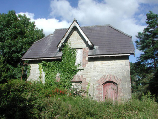 Benbulbin Old Schoolschool master's house · 1060 yd
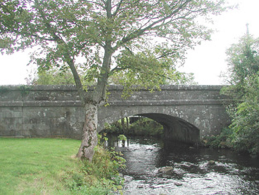 bridgebridge · 1132 yd
 CastleCastle, unclassified · 1296 yd
 InishnagorIslet · 1.4 mi
 Atlantic SheepdogsHeritage attraction · 1.5 mi
 Connors IslandIsland · 2.0 mi
 BenbulbinMountain / peak · 2.1 mi
 BenbulbenMountain · 2.2 mi
 de Cuellar Armada MonumentMemorial · 2.3 mi
 Benbulbin South-East TopMountain / peak · 2.8 mi