
What is recorded here
At Ardnaglass Lower rath (SL005-038001-). A U-shaped, gently curving hollow (dims. L 7m SW-NE; Wth top 2m; D 0.4m) extends from the inner face of the bank at W into the interior may mark a collapsed Man-made underground passage.
Compiled by: Patrick F. O'Donovan
Date of upload: 21 April 2011
The monument record does not grant public access. Check the route and ask the landowner before entering private land.
- What survives
- Recorded monument
Places near here
 Tober PatrickHoly well · 194 yd
 IndicatedFairy fort / stone ringfort · 583 yd
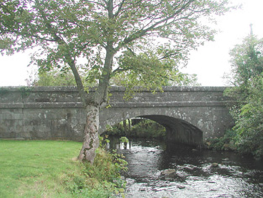 bridgebridge · 773 yd
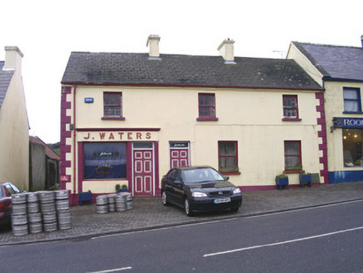 J. Watershouse · 845 yd
 CastleCastle, unclassified · 939 yd
 InishnagorIslet · 1.3 mi
 Atlantic SheepdogsHeritage attraction · 1.3 mi
 Connors IslandIsland · 1.9 mi
 de Cuellar Armada MonumentMemorial · 2.1 mi
 Streedagh BeachVisitor information · 2.2 mi
 BenbulbinMountain / peak · 2.3 mi
 Cat CornerWood · 2.9 mi
Other information
Photo: Credit not shown in the picture search · Rights wording not checked; contact us if this picture should be removed