What is recorded here
In rough pasture, on a SE-facing slope on Bear Island. A D-shaped spread (3m E-W; straight W side: L 4m N-S) of heat-shattered stones and charcoal-enriched soil that was, according to local information, encountered during land clearance works.
The above description is derived from 'The Archaeological Inventory of County Cork. Volume 5' (Dublin: Stationery Office, 2009).
Date of upload: 22 December 2009
Burnt mound, likely dating to the Bronze Age. It represents a domestic or ritual site where heat was applied, possibly for cooking, metalworking, or ceremonial purposes.
The monument record does not grant public access. Check the route and ask the landowner before entering private land.
- What survives
- Recorded monument
Places near here
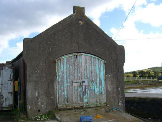 boathouseboathouse · 671 yd
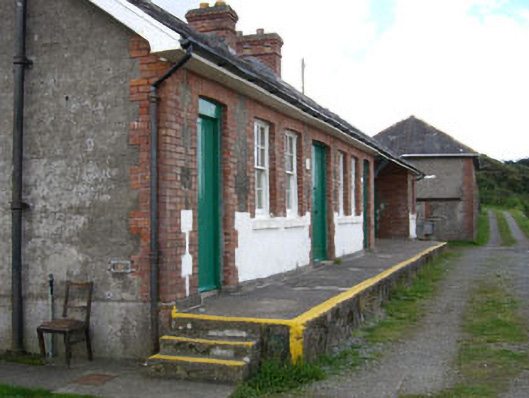 barracksbarracks · 679 yd
 Turk IslandIslet · 952 yd
 Children's burial ground in Ardagh (bear By.)Children's burial ground · 982 yd
 Promontory fortPromontory fort, coastal · 1062 yd
 Bere IslandIsland · 1.0 mi
 Rerrin LoopWalking route · 1.2 mi
 TrawnablahaBeach / strand · 1.7 mi
 KnockanalligMountain / peak · 2.0 mi
 Holly HillMountain / peak · 2.3 mi
 Burial ground in DerrycreeveenBurial ground · 3.0 mi
 Ardnakinna West Island LoopWalking route · 3.2 mi