What is recorded here
Doon Point still wears a low earthen bank across its neck, shaping a small promontory fort where grass slopes toward the sea. Near the northern edge rises a modest mound, no taller than a kneeling person, with a slightly hollowed top and a base wide enough for several people to circle. Local tradition calls it a grave, and that simple claim gives the place its edge: a fortified headland may have kept out strangers, but the mound suggests someone there was remembered beneath the soil.
A small S-facing promontory known locally as 'Doon Point' or 'the fort' (DG089-019001-). The approaching narrow neck of land is traversed by a valley/fosse/ditch but there is no sign of any bank. There were a number of 'huts' (DG089-019002-) on the promontory but these were cleared about the beginning of this century. The interior is now flat grassland sloping to the E with some evidence of recent cultivation.
Located 324m north of the southern point of 'The Doon' there are the remains of a low earthen bank (top Wth 0.7m; base wth 1.5m; int. H 0.2m) with outer fosse (Wth 1m; ext. D 0.2m) which runs for a distance of 50m from east to west cutting off the headland known as 'The Doon' to form a fortified headland or promontory fort. This low earthwork appears to be the original outermost defensive element of the promontory fort. The remains of a small earthen mound (H 0.4m; top diam. 2.4m, base diam. 4.6m) (DG089-019003-) wth slightly concave summit is located in the northern edge of the promontory fort. According to local information this mound traditionally marks the site of a grave or burial.
The monument record does not grant public access. Check the route and ask the landowner before entering private land.
- What survives
- Recorded monument
Places near here
 The DoonPromontory fort, coastal · 29 yd
 An Trá BhánBeach / strand · 365 yd
 Silver Strand ViewpointViewpoint · 365 yd
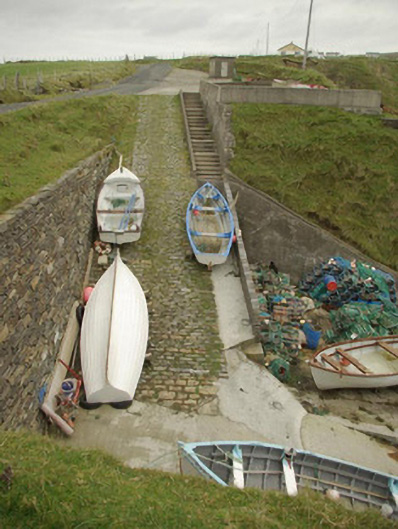 quay/wharfquay/wharf · 607 yd
 Malin Beg / Trabane Bay Coastal Promontory FortPromontory fort, coastal · 640 yd
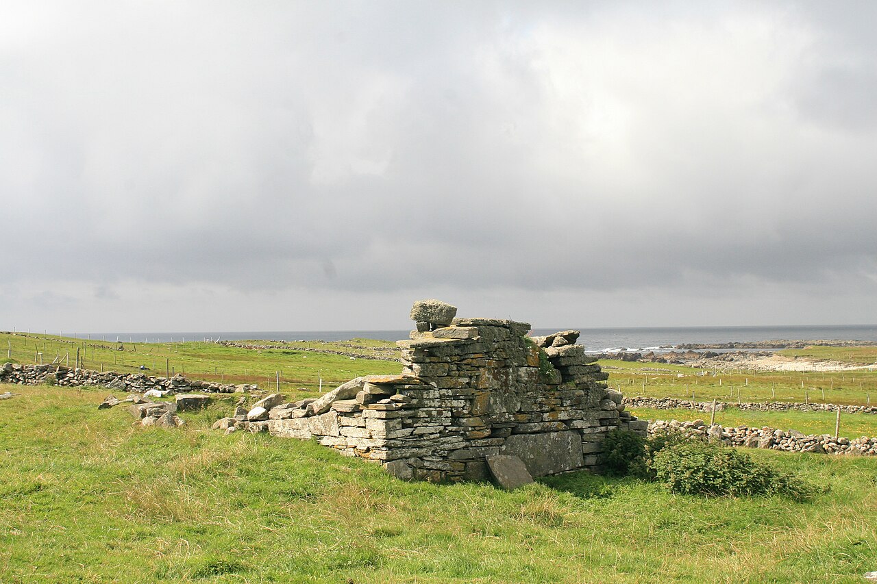 Templecavan ChurchChurch · 870 yd
 Rathlin O'Birne IslandIslet · 1.9 mi
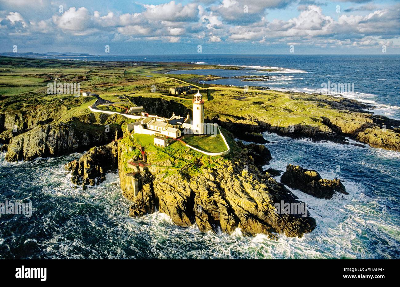 An EibhearIslet · 2.2 mi
 Slieve LeagueMountain / peak · 3.0 mi
 Rossan PointHeadland · 3.1 mi
 An Trá Bheag (Trá Bheag an Ghleanna)Beach / strand · 3.4 mi
 Slieve League SE TopMountain / peak · 3.5 mi