What is recorded here
On high ground in mountainous area. Circular mound (top diam. 4m; base diam. 16m; ext. H 3m) with stone revetted cavity on top (possible sunken cist burial). Halfway up the side of the mound there is evidence of an enclosing berm while at the base there is a wide flat bottomed fosse (Wth 3m; ext. D 2m) with no evidence of an external bank.
The above description is derived from the published 'Archaeological Inventory of County Offaly' (Dublin: Stationery Office, 1997). In certain instances the entries have been revised and updated in the light of recent research.
Date of upload: 23 May 2011
Bronze Age burial mound, likely dating to the early to middle first millennium BCE. Its location on high ground and the presence of a stone-revetted cavity suggest it may have been a significant ceremonial or elite burial site.
The monument record does not grant public access. Check the route and ask the landowner before entering private land.
- What survives
- Recorded monument
Places near here
 Enclosure in PollduffEnclosure · 1093 yd
 Tulla Castle (site of)Archaeological place · 1093 yd
 Site of Tulla CastleCastle, unclassified · 1157 yd
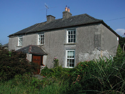 Tulla Housefarm house · 1250 yd
 Enclosure in Tulla AND CrumlinEnclosure · 1463 yd
 FarbreagueMountain / peak · 1.5 mi
 Drummin HillMountain / peak · 1.7 mi
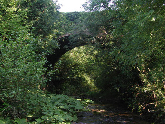 Aghagurty Bridgebridge · 1.8 mi
 Saint Dominick's WellSpring · 2.3 mi
 Kinnitty ForestForest · 2.3 mi
 Derrykeel WoodWood · 3.2 mi
 Saint Kieran's WellSpring · 3.7 mi