What is recorded here
Situated on a low rise, in gently undulating pasture. Depicted as a small mound on the revised ed. OS 6-inch map. Levelled monument described in 1971 as a circular-shaped area (diam. 11.3m E-W; 9.8m N-S) defined by a light coloured band of vegetation visible as a cropmark. The interior has a very slight E-facing slope. Levelled monument is not visible today on Digital Globe aerial photographs. Possible site of levelled burial mound based on OS map designation.
Compiled by Alison McQueen, Vera Rahilly and Caimin O’Brien.
Date of upload: 24 July 2019
A Neolithic burial mound, likely dating to the Early to Middle Neolithic period (c. 4000–3000 BCE). Its circular form and location on a low rise suggest it was a significant local funerary or ceremonial feature, though its current status as a levelled site limits further interpretation.
The monument record does not grant public access. Check the route and ask the landowner before entering private land.
- What survives
- Recorded monument
Places near here
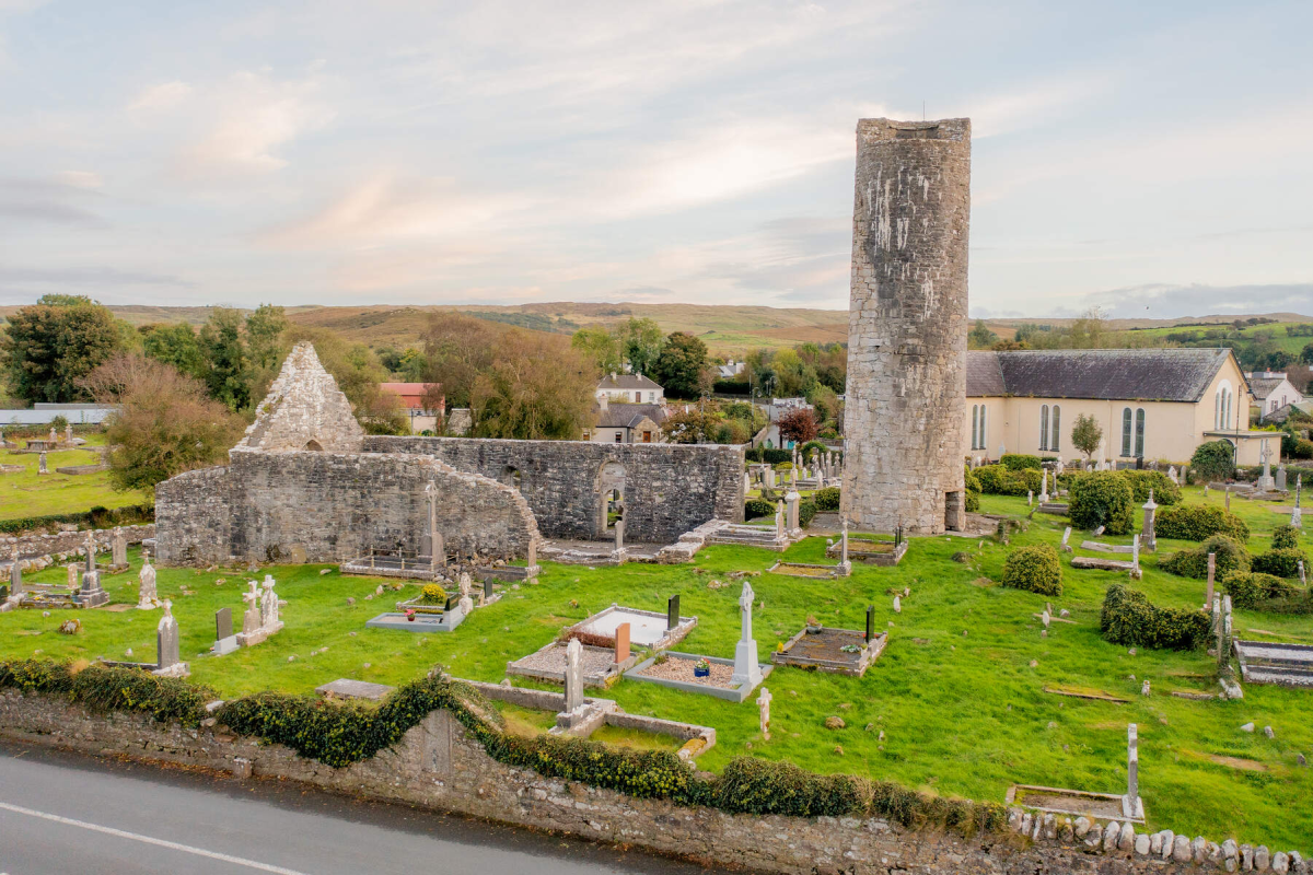 Tober EnainHoly well · 435 yd
 Church in CartroncoraghChurch · 589 yd
 IndicatedCastle, unclassified · 1238 yd
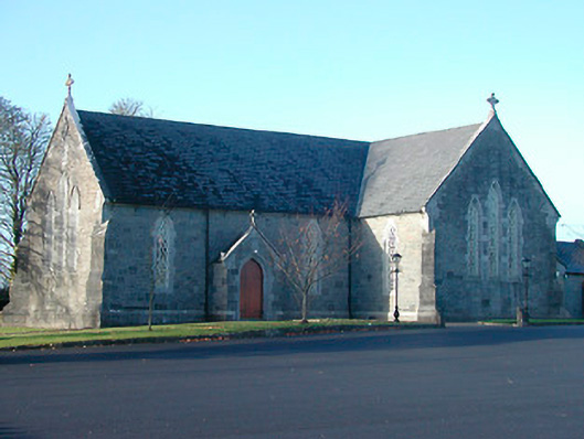 Catholic Church of the Immaculate Conceptionchurch/chapel · 1378 yd
 Man-made underground passage in ArdborraMan-made underground passage · 1594 yd
 CastleCastle, unclassified · 1.8 mi
 Noughaval CemeteryArchaeological place · 3.1 mi
 European BeechEuropean Beech · 4.4 mi
 Japanese pagoda treeJapanese pagoda tree · 4.9 mi
 Guest ServicesVisitor information · 4.9 mi
 Craft WorkshopHeritage attraction · 5.0 mi
 KnockastiaMountain / peak · 5.4 mi