What is recorded here
Located just off the summit of a small hillock. It is not depicted on any map but was described in 1969 (SMR file) as a subcircular platform (dims of base 20m NW-SE; 11m NE-SW) defined by a scarp (at SW: Wth 1.4m; H 0.55m). It is known locally and was thought to be a burial ground from 1798. Its visible profile seems to have been removed by 1995 (OSAP).
The above description is derived from the published 'Archaeological Inventory of County Meath' (Dublin: Stationery Office, 1987). In certain instances the entries have been revised and updated in the light of recent research.
Compiled by: Michael Moore
Date of revision: 21 August 2019
A Neolithic burial mound, likely dating to the Early to Middle Bronze Age. Its location on a hillock suggests a ceremonial or prominent funerary function in the landscape.
The monument record does not grant public access. Check the route and ask the landowner before entering private land.
- What survives
- Recorded monument
Places near here
 CastleCastle, unclassified · 620 yd
 Church (in Ruins)Church · 703 yd
 IndicatedBawn · 767 yd
 Fulacht fia in ArodstownFulacht fia · 1046 yd
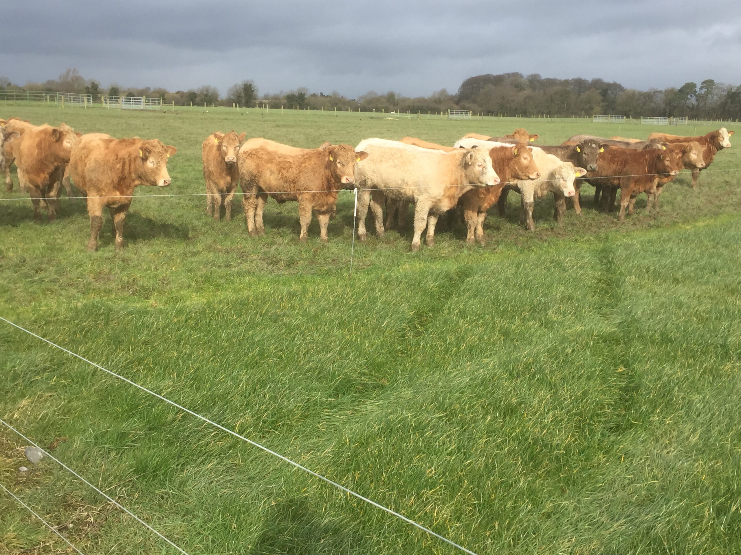 Derrypatrick RathEnclosure · 1.3 mi
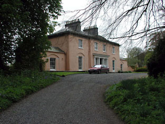 Galtrim Housecountry house · 1.5 mi
 Railway Woods (North)Forest · 2.9 mi
 Dunsany WoodWood · 3.1 mi
 MullaghMountain / peak · 3.3 mi
 Larchil Arcadian GardensHeritage attraction · 4.0 mi
 1798 MemorialMemorial · 4.0 mi
 Kilgar GardensHeritage attraction · 4.8 mi