What is recorded here
According to Carrigan (1905, vol. 3, 324), ‘The townlands of Rathculbin and Spruce’s Hay made up the ancient parish of Rathculbin. This parish is mentioned in the Red Book of Ossory as Rathgulby, Ragulby and Rakylbyn. Soon after the Norman Invasion Rathculbin was granted to Ralph de Borard, who appropriated its free chapel (contulit liberam capellam praedictae villae de Rathgulby,) to the Priory of Kells…The chapel of Rathgulby, with its glebe, is mentioned among the possessions of Kells Priory in 1411’. The location of the church and graveyard is unknown, however, Carrigan (ibid. 324-5) suggests several possibilities (see KK027-059001-; KK027-059002-; KK027-067----). He also mentions, in the same townland of Rathculbin, ‘a third rath, or what, at least, resembled a rath, here, in Rathculbin “Bawn,” a field belonging to a farmer named Torpey. The late owner, Mr. Thomas Torpey, described it to the writer as a circular area, enclosed by an earthen rampart, and overgrown with white-thorns. It area was a quarter of an acre. It was levelled many years ago by his father, who, in the course of the work, came upon human bones’. This enclosure (KK027-068001-) and the burials (KK027-068002-) are unlocated within the townland.
Compiled by: Jean Farrelly
Date of upload: 6 April 2023
The monument record does not grant public access. Check the route and ask the landowner before entering private land.
- What survives
- Recorded monument
Places near here
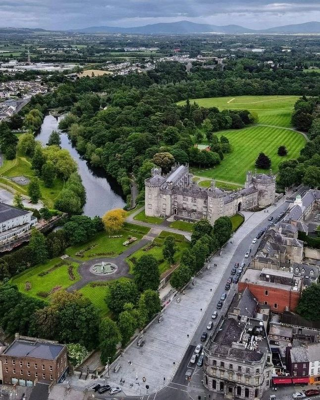 Enclosure in RathculbinEnclosure · 15 yd
 Castle (in ruins)House, 16th/17th century · 748 yd
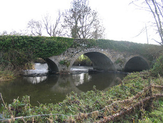 Newtown Bridgebridge · 1022 yd
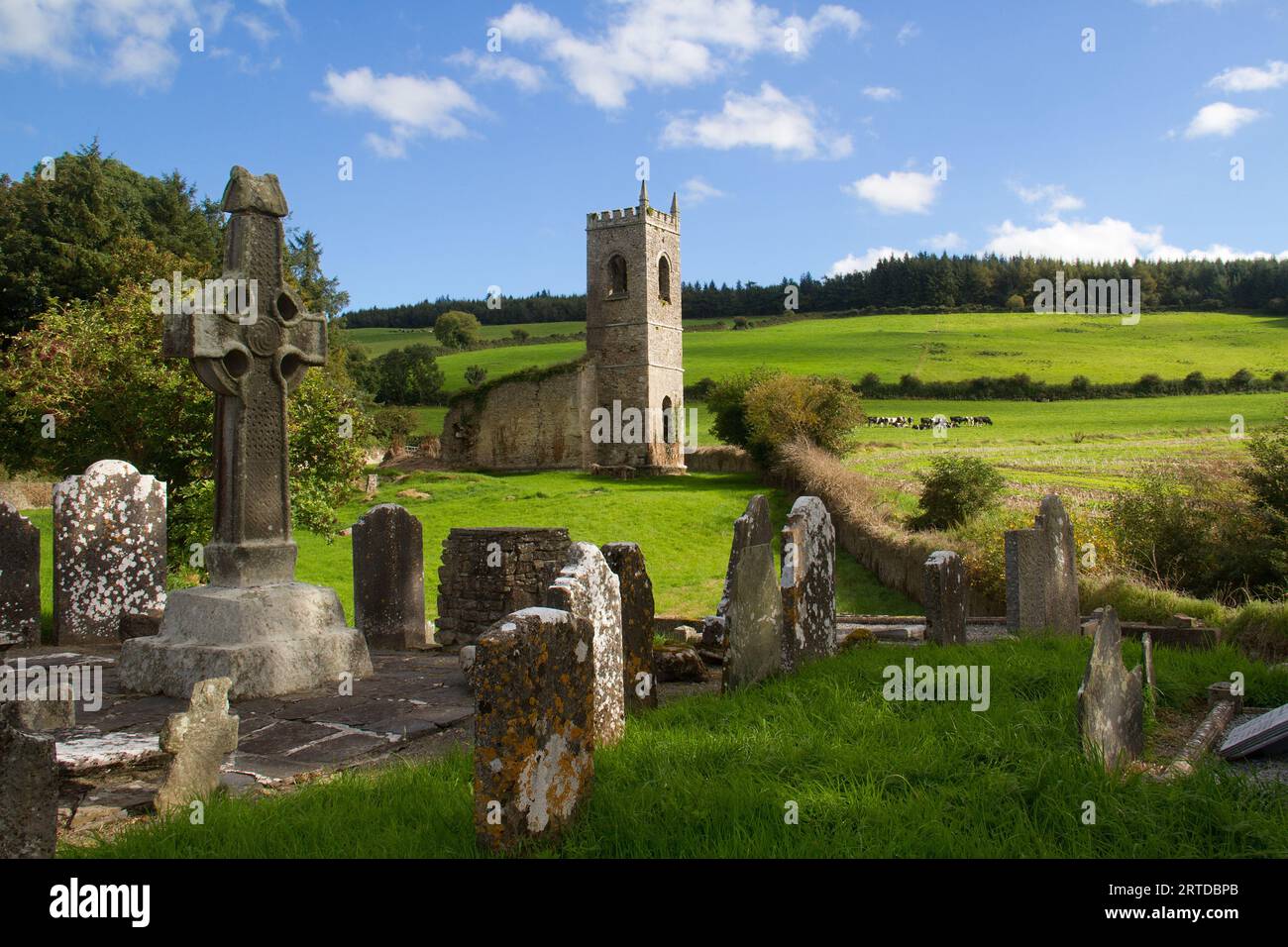 Rathculbin RathArchaeological place · 1022 yd
 TowerHouse, fortified house · 1224 yd
 IndicatedBawn · 1231 yd
 BawnwilliamForest · 1.6 mi
 Sally OsiersForest · 1.7 mi
 Lacken WellSpring · 1.9 mi
 Famous Horses of KellsMemorial · 2.0 mi
 Mill IslandIslet · 2.0 mi
 Pat WalshMemorial · 2.3 mi