What is recorded here
In May 1950 a disturbed inhumation burial was discovered during quarrying operations. Comprised a narrow, shallow grave orientated W-E (L 1.70m, Wth 0.30m). The grave contained an extended inhumation of a middle-aged adult male, orientated W-E with the head in the W. The individual had suffered a fracture of the wrist which had led to the development of osteoarthritis in the wrist bones. The degree of wear and general low amount of caries is consistent with prehistoric and early medieval populations (NMI).
Compiled by: Geraldine Stout
The monument record does not grant public access. Check the route and ask the landowner before entering private land.
- What survives
- Recorded monument
Places near here
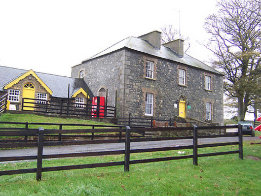 Lilliput Househouse · 174 yd
 CastleCastle, tower house · 1377 yd
 Derrynafola FortFairy fort / ringfort · 1531 yd
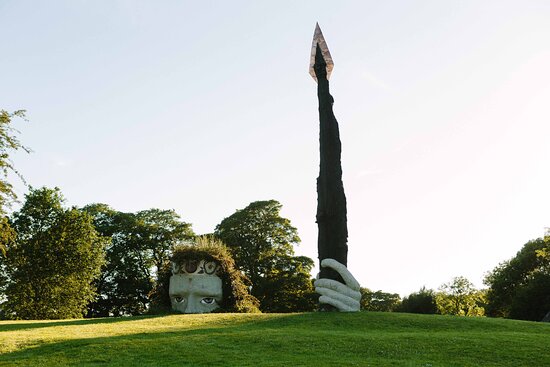 Hachured, Dun-na-SgiathFairy fort / earthen ringfort · 1669 yd
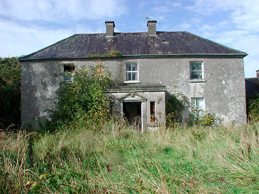 Kilcooley Housefarm house · 1.1 mi
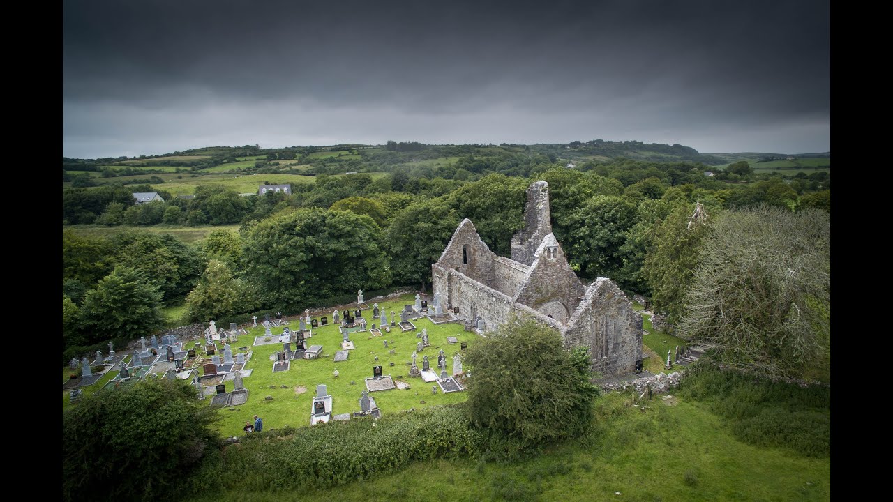 Bawn in Dysart (moyashel & Magheradernon By.)Bawn · 1.2 mi
 Dysart IslandIsland · 1.6 mi
 Ash IslandIslet · 1.8 mi
 Ardan WoodWood · 6.3 mi
 Bonfire HillMountain / peak · 6.7 mi
 Kilmalady HillMountain / peak · 8.2 mi
 High WoodWood · 8.8 mi