What is recorded here
On a slight gravel ridge in Newtown and Peterstown, road works uncovered four early burials aligned west to east, including one dated between AD 414 and 532. A century later in 1998, a young man aged seventeen to twenty-five emerged seventy-five metres southeast, separate from the first group but still lying west to east. The ridge has given up its dead in fragments across decades, each discovery widening the shadow of what remains hidden beneath the surface.
Situated on a slight gravel ridge. Archaeological testing (97E0389) of a road improvement scheme uncovered the inhumed remains of three males and one female aligned W-E. One burial produced a C14 date of 1694 +-37 BP (Cal. AD 414-532). Further testing during 1998 recovered another inhumation 75m to the SE. A single male, aged 17-25, was lying supine W-E in a grave-cut (dis 1.38m E-W; 0.52m N-S; D 0.28-0.36m) c. 1m below present ground level. It produced a C14 date of 446+-46 (Cal. AD 1425-1461) demonstrating that it was unconnected with the earlier burials (Murphy 1998, 2000). Further testing (04E0622) by D. Noonan c. 100m to the NE at the nearest point produced no related material (excavatioins.ie 2004:1352), and testing (18E0631) by I. Russell c. 40m S of the main concentration produced no further inhumations (excavations.ie 2018:721).
Compiled by: Michael Moore
Date of upload: 22 October, 2018
Amended: 29 January 2021, 29 April 2021
The monument record does not grant public access. Check the route and ask the landowner before entering private land.
- What survives
- Recorded monument
Places near here
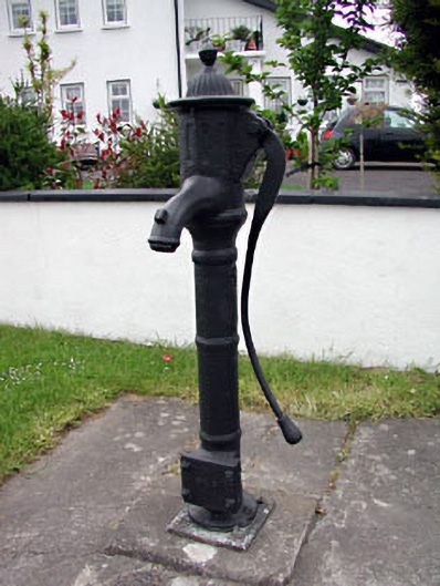 water pumpwater pump · 296 yd
 CrossCross, High cross (present location) · 445 yd
 St Peters WellHoly well · 584 yd
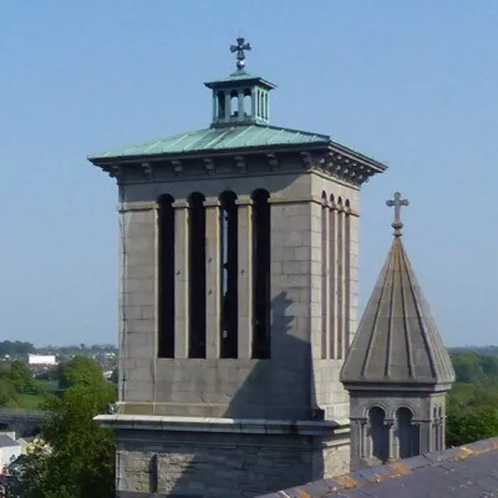 Church (in Ruins)Church · 672 yd
 IndicatedCastle, tower house · 741 yd
 CastleCastle, hall-house · 1662 yd
 Small-leaved ElmSmall-leaved Elm · 2.8 mi
 Wych ElmWych Elm · 2.9 mi
 MullaghMountain / peak · 9.1 mi
 Kilgar GardensHeritage attraction · 9.3 mi
 Candle HillMountain / peak · 9.4 mi
 Larchil Arcadian GardensHeritage attraction · 9.5 mi