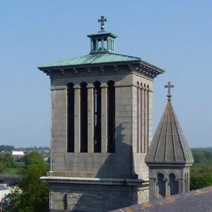
What is recorded here
Situated on a slight W-E spur with a WSW-ENE section of the River Boyne c. 60m to the S and a small WNW-ESE stream in a fold c. 25m to the N. A church at Newtown is listed in the ecclesiastical taxation (1302-06) of Pope Nicholas IV (Cal. doc. Ire., 5, 257). Ussher (1622) describes the church and chancel of Newtown by Trym as repaired (Erlington 1847-64, 1, lxxxiv). According to Dopping (1682-5) the church of the Blessed Virgin Mary at (Newtown) Trim, was ruined before 1641 and the graveyard was not enclosed (Ellison 1972, 12). The church is known as Newtown Clonbun (Conwell 1872-3, 367-9) and was conserved in 1842 by Richard Butler, the antiquarian, who was the vicar of St Patrick’s church in Trim (ME036-048012-) from 1818 to 1863 (Conwell 1872-3, 382, 411-30; Ellison 1964).
The church is towards the E end of a large triangular graveyard (max. dims c. 140m ENE-WSW; c. 65m NNW-SSE) defined by masonry walls with the apex at E, which it shares with the Cathedral (ME036-049002-), which is c. 55m to the WSW. The holed stone (ME036-049009-) is in the graveyard. This is aligned N-S and has a subrectangular cross-section (dims 0.36-0.42m x 0.1-0.18m; H 0.53m) with a hole (diam. 5cm) at the top (Crawford 1915).
This is an undivided nave and chancel structure (int. dims 17.75m E-W; 5.28m N-S; ext. dims 19.5m E-W; 7.05m N-S) aligned ENE-WSW, parallel with the river. It has opposing doorways towards the W end of the N (Wth 0.76m) and S (Wth 1.3m) walls, which are rebuilt. Much of the long walls are reduced to the foundations, with an aumbry at the E end of the S wall and evidence of one embrasure in the same wall. Only the E and W walls survive to any height, the former with a large pointed window embrasure with no remains of tracery and an aumbry, the latter with a small round-headed window but no evidence of a belfry.
Outside the S doorway the ornate arch (Wth 1.66m; H 0.83m; D 0.26m) of a tomb recess with a carved representation of the crowning of the Virgin at the apex (Hunt 1974, 1, 211) is set high in the wall, probably as a result of the conservation works. Inside the W end of the church is the rectangular base of a font (dims 0.53m x 0.5m; H 0.26m) with a chamfered upper surface where the scar of an octagonal shaft (dim. 0.3m) can be seen. Part of the shaft (H 0.34m) is also present. Just outside the S doorway is the graveslab (dims 1.82m x 0.77m; T 0.2m) of Henry Brown who died in 1581. The Latin inscription is carved in false relief in roman letters, and it has a shield surmounted by three crosses (Conwell 1872-3, 380).
The tomb of Sir Lucas Dillon of Moymet (ME030-023----), who was Baron of the Irish Exchequer from 1572 and who died in 1595, and his wife, Lady Jane (nee Bath) of Athcarne (ME033-004----), who died before 1581 (ibid. 371-2) are towards the E end of the church. The table (dims 2.05m x 1.22m; H off ground 0.98m) has the effigy of a lady and her knight carved in relief. The side-panels have three shields each, representing the Bathe, Dillon, and Barnwall families and their connections. The W end has a relief of a kneeling man and woman with three children on either side beneath a sunburst wherein is carved ‘DIEV, GOD’. The E stone has a raised panel for an inscription that was never applied.
The above description is derived from the published 'Archaeological Inventory of County Meath' (Dublin: Stationery Office, 1987). In certain instances the entries have been revised and updated in the light of recent research.
Compiled by: Michael Moore
Date of revision: 17 February 2014
The church at Newtown was likely built in the early 14th century, as it appears in the ecclesiastical taxation records of Pope Clement V (1302–06). Its exact architectural style is not specified, but it would have reflected typical medieval Irish church design. The site holds historical significance as evidence of established Christian worship in the area during the early medieval period.
The monument record does not grant public access. Check the route and ask the landowner before entering private land.
- What survives
- Recorded monument
Places near here
 Newtown AbbeyCathedral · 96 yd
 IndicatedCastle, tower house · 219 yd
 St. Johns FriaryReligious house, Fratres Cruciferi · 259 yd
 CrossCross, High cross (present location) · 292 yd
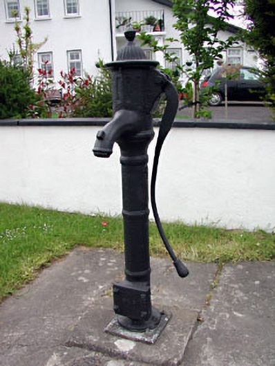 water pumpwater pump · 382 yd
 CastleCastle, hall-house · 1334 yd
 Small-leaved ElmSmall-leaved Elm · 3.1 mi
 Wych ElmWych Elm · 3.2 mi
 MullaghMountain / peak · 8.8 mi
 Kilgar GardensHeritage attraction · 9.0 mi
 Larchil Arcadian GardensHeritage attraction · 9.2 mi
 Old Bog Road made famous by Teresa Bryton 1868-1943Memorial · 9.3 mi
Other information
Photo: Credit not shown in the picture search · Rights wording not checked; contact us if this picture should be removed