What is recorded here
New monument uncovered during excavation by Jonathan Dempsey under licence number 03E1367 in advance of the M7 Heath-Mayfield motorway scheme.
Morett 5 consisted of a skeleton, possibly of a female adult orientated NNE-SSW in an extended supine position with skull facing W. The skeleton was placed in a shallow grave cut, irrregular in shape, measuring 1.35m N-S by 0.8m by 0.27m deep. No finds were recovered from the burial. A burial of a horse was in a separate grave-cut 0.7m to the E of the female inhumation (Bennett 2006, 295).
Compiled by: Caimin O'Brien
Date of upload: 17 December 2007
The monument record does not grant public access. Check the route and ask the landowner before entering private land.
- What survives
- Recorded monument
Places near here
 Morett Castle (in ruins)House, fortified house · 452 yd
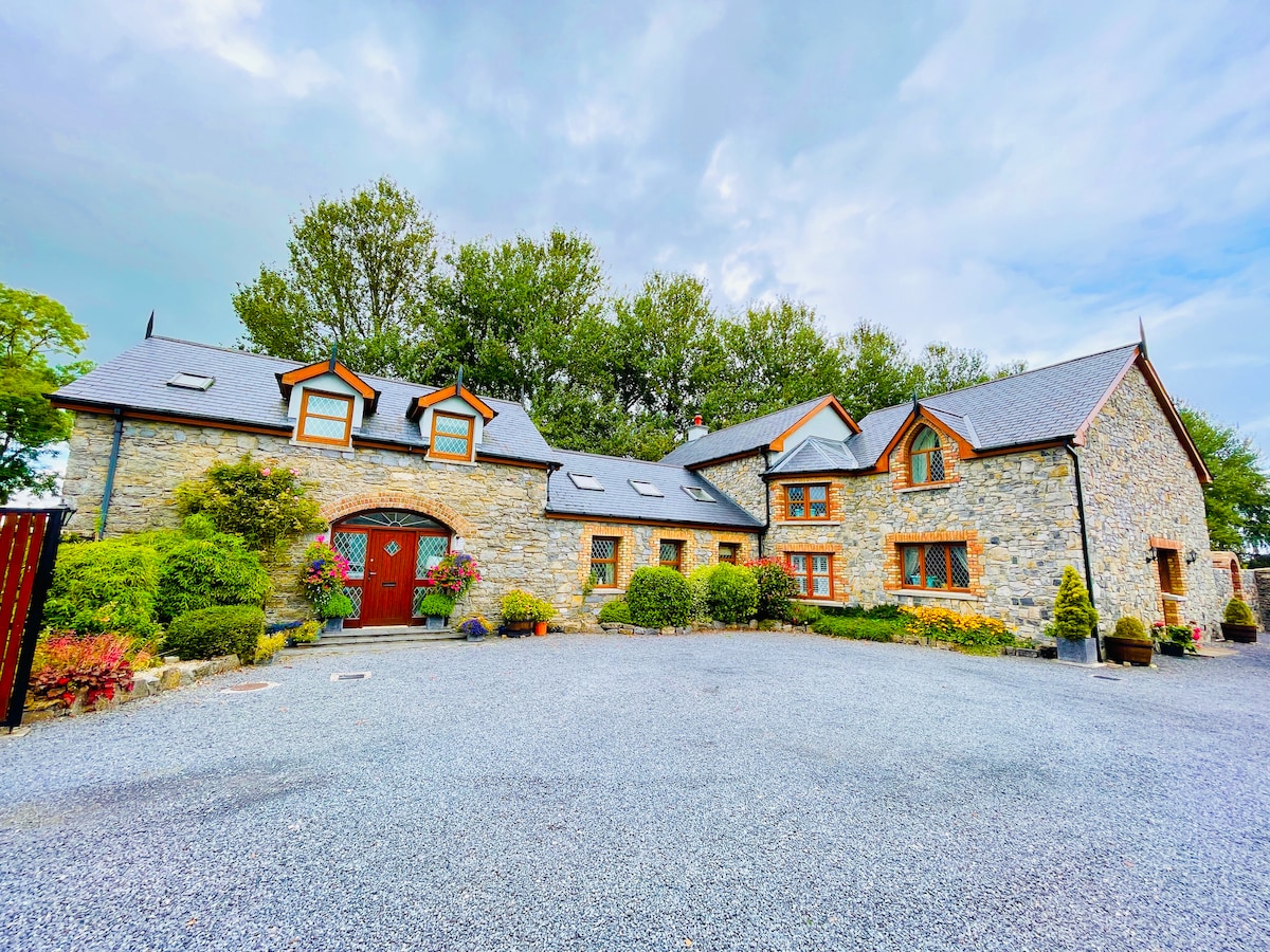 Rathnalulagh (Site of)Fairy fort / ringfort · 540 yd
 Morett Church (in Ruins)Church · 553 yd
 Enclosure in MorettEnclosure · 568 yd
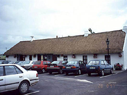 farm housefarm house · 1715 yd
 Pedunculate OakPedunculate Oak · 1.1 mi
 Coolbanagher Castle (ruins)Castle · 1.3 mi
 European YewEuropean Yew · 2.0 mi
 Rock of DunamaseCastle · 3.2 mi
 Rock of Dunamase InformationVisitor information · 3.2 mi
 Friary (in Ruins) GraveyardReligious house, unclassified · 4.2 mi
 Church (in Ruins), GraveyardChurch · 4.6 mi