What is recorded here
A single supine inhumation, orientated E-W, was discovered close to the river prior to road construction (Excavation Licence No. 03E0888). This was an adult of indeterminate sex aged between 33 and 48 years and produced a calibrated radiocarbon date of AD 1216-1286 (Walsh 2012, 98). A small quantity of disarticulated were found further W. (Walsh 2006, 406)
Date of revised upload: 27 July 2017
A single inhumation burial, likely from the Early Christian or medieval period, indicating local funerary practices near water sources. Its significance lies in providing insights into burial orientation and community use of landscape features during that era.
The monument record does not grant public access. Check the route and ask the landowner before entering private land.
- What survives
- Recorded monument
Places near here
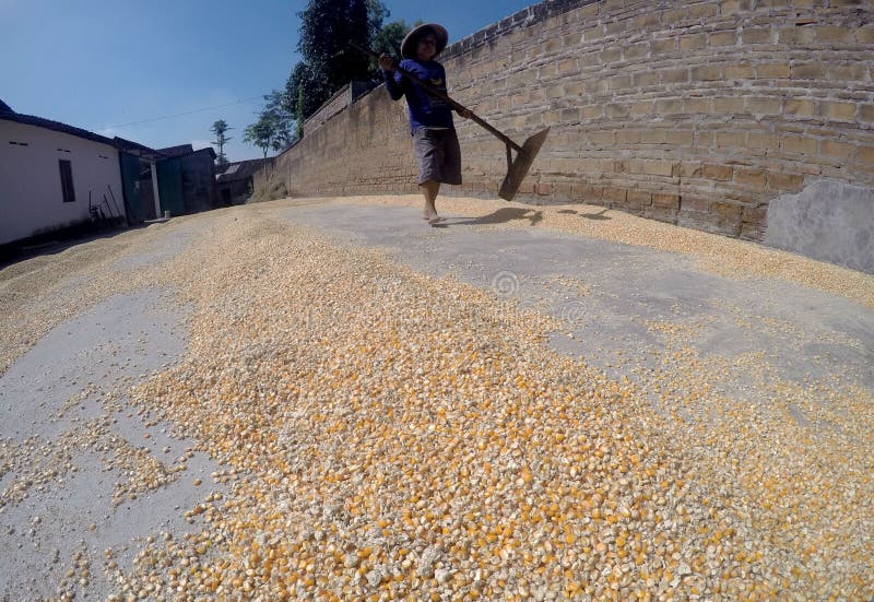 KilnKiln, corn-drying · 44 yd
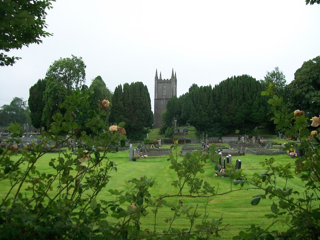 Burial ground in Cloghvally LowerBurial ground · 148 yd
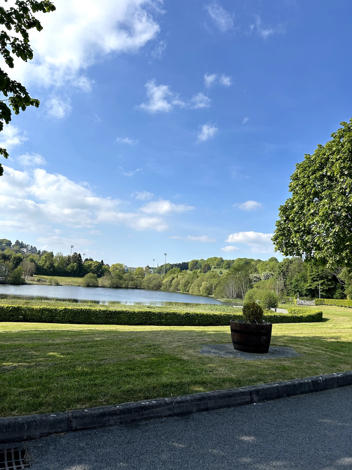 Embanked enclosureFairy fort / earthen ringfort · 1320 yd
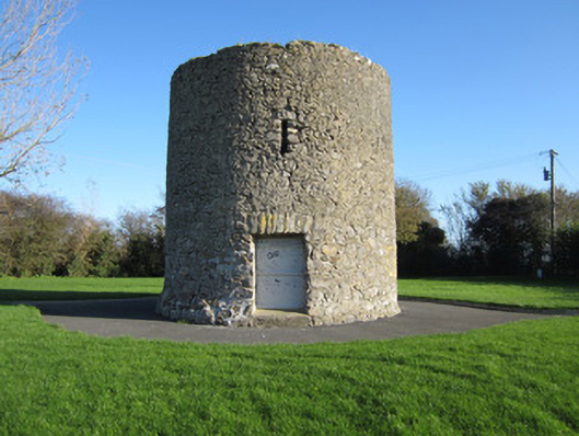 Gallows Hill Windmillmill (wind) · 1322 yd
 Horse-chestnutHorse-chestnut · 1730 yd
 Mannan Castle (in ruins)Castle, Anglo-Norman masonry castle · 1.5 mi
 European BeechEuropean Beech · 1.8 mi
 TobernagalliaghSpring · 2.3 mi
 Drumerlough MoreMountain / peak · 4.9 mi
 Flat cemetery in AnnaheanFlat cemetery · 5.3 mi
 Gully IslandIslet · 5.7 mi
 Natural Play AreaMemorial · 5.8 mi