What is recorded here
On undulating agriculture land. Three short cists (DG079-044001-, DG079-044003- and DG079-044004-) and a fourth possible funerary monument were identified here in 2004. This, the latter, was investigated (Licence: 04E0505) in the same year by Shine and Sikora on behalf on the National Museum of Ireland. This potential monument comprised a large flat slab c. 3m E of the first cist (DG079-044001-), which it was suspected may have been the capstone for another burial. This stone had been moved from its original position by the bulldozer. Nonetheless it was suggested that some of the bone found in loose earth around the first cist may have originated from here (Cahill and Sikora 2011, Vol 1. 140-152).
Compiled by: Patrick F. O'Donovan
Date of upload: 26 February 2013
A Neolithic burial site with multiple cists, dating to approximately 4000–2500 BCE. Its significance lies in providing insight into early funerary practices and settlement patterns in the region.
The monument record does not grant public access. Check the route and ask the landowner before entering private land.
- What survives
- Recorded monument
Places near here
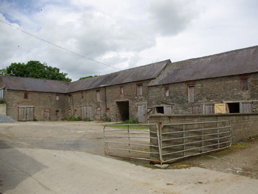 Berwick Halloutbuilding · 136 yd
 Liscooly Bridgebridge · 315 yd
 Holy WellHoly well · 1507 yd
 Site of CastleCastle, unclassified · 1.5 mi
 Enclosure in TiriniskEnclosure · 1.5 mi
 CastleCastle, unclassified · 2.1 mi
 Carnowen HillMountain / peak · 2.3 mi
 BATTLE SITE: in 789 AD & BATTLE OF THE FORDS , Southern crossing, 1689 in Clady; DonnygowanBATTLE SITE: in 789 AD & BATTLE OF THE FORDS , Southern crossing, 1689 · 4.0 mi
 Croaghan HillMountain / peak · 4.7 mi
 Battle of Scarrifholisbattle · 11 mi
 Newmills Corn and Flax MillsHeritage attraction · 11 mi
 Killeter ForestForest · 12 mi