What is recorded here
Situated on a rise on the N bank of the W-E Boyle river just as it leaves Lough Key and recovered in the excavation of the fosse around the burial ground (RO006-012001-), which had been closed by the 14th century. About 150 burials oriented E-W were recovered from two phases of activity in the enclousure, together with re-deposited prehistoric lithic material, (Read et al. 2005; Read 2009e, 460)
Compiled by: Michael Moore
Date of upload: 24 August 2010
A 10th- to 12th-century early Christian burial; its location near Lough Key suggests possible monastic or ecclesiastical connections, though wider significance remains unclear.
The monument record does not grant public access. Check the route and ask the landowner before entering private land.
- What survives
- Recorded monument
Places near here
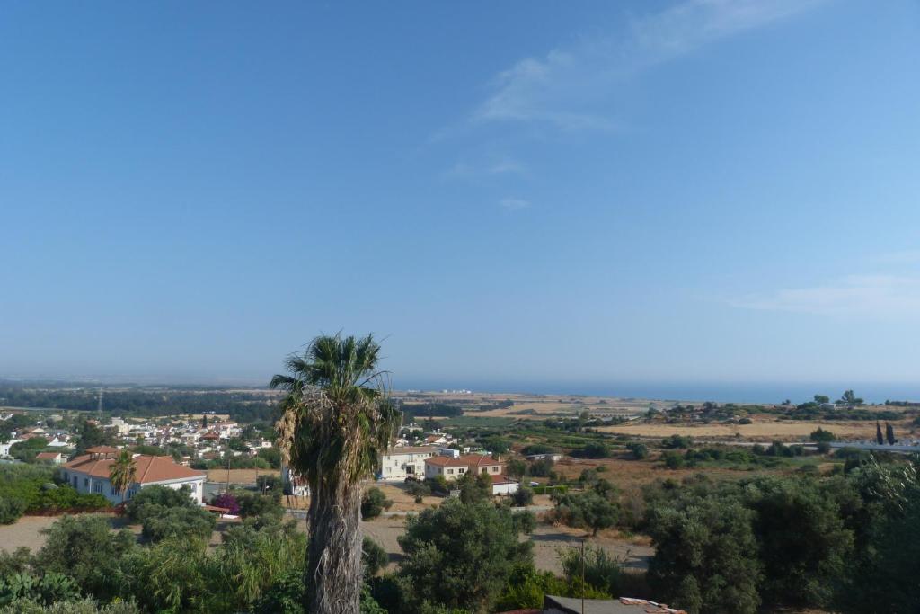 Bishops SeatEcclesiastical residence · 60 yd
 Religious houseReligious house, Franciscan Third Order Regular · 365 yd
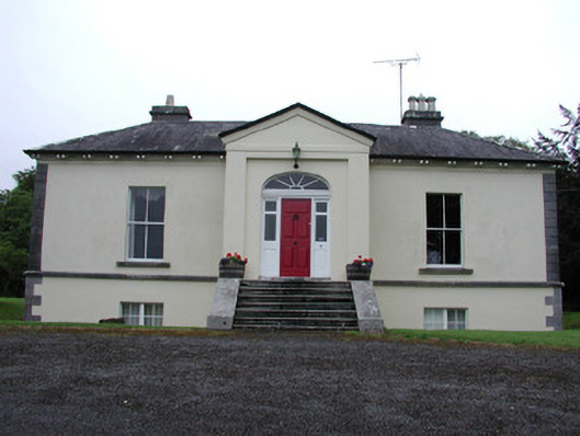 Riversdale Housecountry house · 372 yd
 Tober PatrickHoly well · 781 yd
 Errironagh WoodForest · 1405 yd
 Lahan IslandIslet · 1.0 mi
 Smutternagh WoodWood · 1.4 mi
 Swallow IslandIslet · 1.4 mi
 Longford HillMountain / peak · 1.6 mi
 Lough Key Forest ParkWood · 2.3 mi
 Erris BayBay · 2.6 mi
 Turlough O'CarolanMemorial · 4.3 mi