What is recorded here
In improved pasture, at the base of a quarried out E-facing ridge slope. A road borders the E side of the field.
According to local tradition, a man and a woman were travelling the roads during the time of the Famine. The woman died and was buried at this location. The grave was dug into the slope of the ridge and marked by a large stone slab, which was set against the ridge slope.
In the late 20th-century the ridge was removed by quarrying. However, the location of the grave was left largely undisturbed. It is evident now as an isolated domed mound of earth (diam. 15m; H 2m) with the stone slab (1.1m x 0.55m; T 0.14m) lying on top. This mound is not ancient; it was artificially created during the reclamation works in order to preserve the location of the burial.
Compiled by: Jane O’Shaughnessy
Date of upload: 30 June 2022
The monument record does not grant public access. Check the route and ask the landowner before entering private land.
- What survives
- Recorded monument
Places near here
 IndicatedFairy fort / earthen ringfort · 571 yd
 Enclosure in KilmanninEnclosure · 738 yd
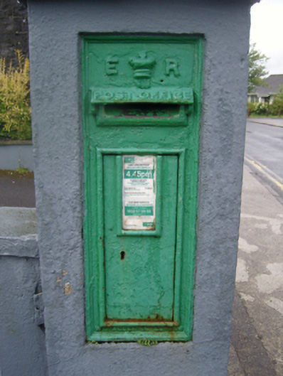 post boxpost box · 1589 yd
 Ballyhaunis Courthousecourt house · 1638 yd
 CastleCastle, unclassified · 1.8 mi
 Rath Castle in ruinsCastle, tower house · 4.9 mi
 East Mayo Brigade MonumentMemorial · 6.9 mi
 Kiltimagh MuseumMuseum · 11 mi
 Land of the GiantsHeritage attraction · 11 mi
 Oak WoodForest · 11 mi
 I'll Send You The FareMemorial · 11 mi
 Geoffrey's WoodForest · 11 mi