What is recorded here
On a SE-facing slope just off the crest of a hill, in rolling pasture. According to Power (1908, 73) this is the location of an early church (TS081-058002-). It appears to be located within a large ecclesiastical enclosure (TS081-058001-). In c. 1990 the landowner came across a lot of small bones while ploughing the field and decided to leave the field under grass. It is likely that these are burials (TS081-058004-) associated with the church.
Compiled by: Jean Farrelly
Date of upload: 15 January 2014
Early Christian burial site, 6th–9th century AD; associated with a possible monastic enclosure, indicating the area's religious significance in the medieval period.
The monument record does not grant public access. Check the route and ask the landowner before entering private land.
- What survives
- Recorded monument
Places near here
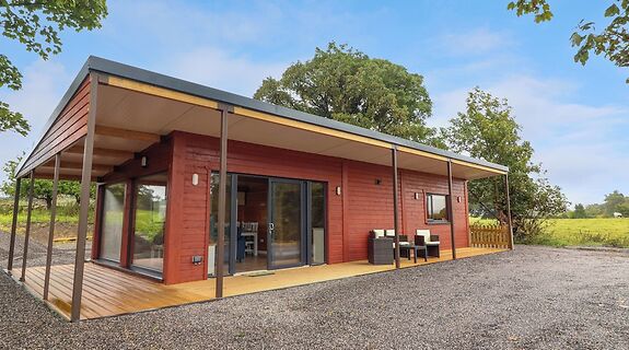 Enclosure in KillinureEnclosure · 7 yd
 Enclosure in Roosca (burke)Enclosure · 1110 yd
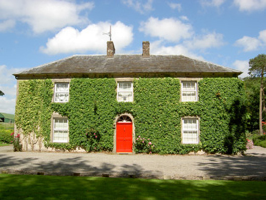 Farmly Househouse · 1114 yd
 Roosca CastleCastle · 1205 yd
 CastleCastle, motte · 1385 yd
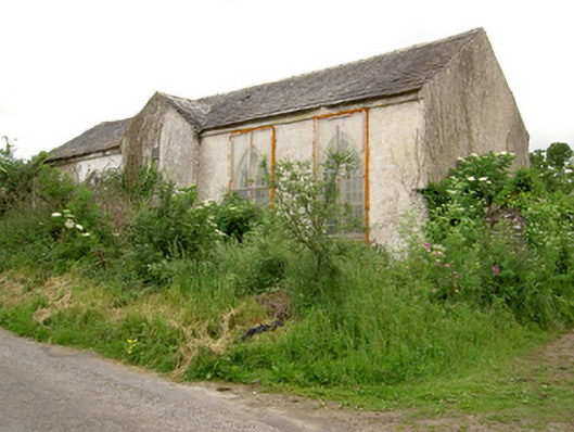 Tubbrid Schoolschool · 1497 yd
 Pedunculate OakPedunculate Oak · 1.8 mi
 Woodcock HillMountain / peak · 2.0 mi
 Cottagehill WoodForest · 2.2 mi
 Cahir CastleHeritage attraction · 3.4 miSiege of Cahir Castlesiege · 3.5 mi
 Caher AbbeyHeritage attraction · 3.7 mi