What is recorded here
No one knows the names of the dead beneath the grass, but local memory places a famine burial ground inside the farmyard, close to a soup kitchen and orphanage. The land has been pasture since then, and the living have built a house beside it. The dead remain nameless, not forgotten, waiting under ordinary grass for someone to stop and remember them.
In pastureland, within a farmyard close to a modern house. According to local information, there was a famine burial ground within the farmyard; a soup kitchen and orphanage were located close by. No visible surface trace survives.
The above description is derived from the published 'Archaeological Inventory of County Galway Vol. II - North Galway'. Compiled by Olive Alcock, Kathy de hÓra and Paul Gosling (Dublin: Stationery Office, 1999).
Date of upload: 05 August 2010
The monument record does not grant public access. Check the route and ask the landowner before entering private land.
- What survives
- Recorded monument
Places near here
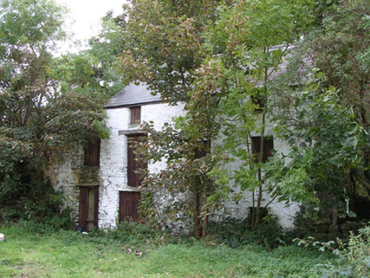 mill (water)mill (water) · 832 yd
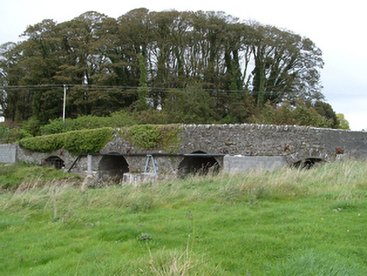 bridgebridge · 923 yd
 IndicatedEnclosure · 941 yd
 RathcollArchaeological place · 945 yd
 Dunmore CastleCastle · 1006 yd
 Site of Doonbally CastleCastle, unclassified · 3.3 mi
 Slieve DartMountain / peak · 4.3 mi
 European ashEuropean ash · 7.6 mi
 Mass RockNamed rock · 9.5 mi
 KnockmaaWood · 13 mi
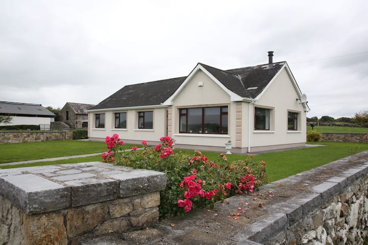 Enclosure in CastlefarmEnclosure · 1004 yd
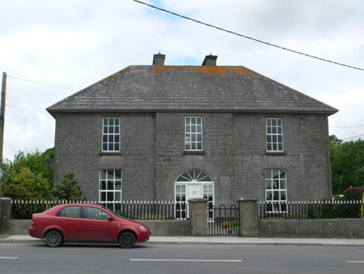 Merton Housepresbytery/parochial/curate's house · 1006 yd