What is recorded here
On a S-facing slope of rising ground in upland area with good views in all directions. Ring-barrow (TS049-031----) and burial mound (TS049-032----) 138m and 260m to E respectively. No surface remains visible, field recently ploughed and reseeded with grass. In the early 1900s several burials were uncovered whilst ploughing the field at a depth of 2 and a half feet [0.76m] below the surface of the ground, these burials were left untouched and were covered over (NMI Topographical Files).
Compiled by: Jean Farrelly
Date of upload: 26 August 2011
A Neolithic burial mound; significance relates to its context within a broader prehistoric landscape of ritual and burial activity.
The monument record does not grant public access. Check the route and ask the landowner before entering private land.
- What survives
- Recorded monument
Places near here
 The Warhousehouse · 128 yd
 Warhouse HillMountain / peak · 154 yd
 IndicatedEnclosure · 1295 yd
 Farranrory CastleCastle · 1304 yd
 Slieveardagh Househouse · 1.1 mi
 Fulacht fia in BolintleaFulacht fia · 1.1 mi
 Top Field at Carey'sForest · 2.1 mi
 Second Field on the HillForest · 2.2 mi
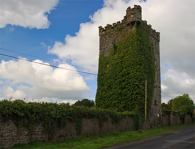 Site of Williamstown CastleCastle, unclassified · 2.2 mi
 Bregaun HillMountain / peak · 2.6 mi
 Kilcooly AbbeyHeritage attraction · 4.1 mi
 Derrynaflan TrailHeritage attraction · 7.4 mi