
What is recorded here
From the National Monuments Service (Archaeological Survey of Ireland) record GA022-038
Places near here
Photo credits
- Maker not stated on source page, www.irelandhighlights.com
- Maker not stated on source page, en.wikipedia.org
- Ian Capper, Geograph · CC BY-SA 2.0
- Maker not stated on source page, www.absoluteescapes.com
- Keith Salvesen, Geograph · CC BY-SA 2.0
- Markbriggs, Wikimedia Commons · CC BY-SA 3.0
- National Inventory of Architectural Heritage
- Maker not stated on source page, www.dreamstime.com
- Picture: Abbeyglen Castle Hotel
- United Kingdom Hydrographic Office, Wikimedia Commons · Public domain
- Jonathan Wilkins, Wikimedia Commons
 Wedge tomb in EyrephortWedge tomb · 370 yd
Explorer Tom Wedge tomb in Eyrephort is partially ruined on the seashore, with its south side missing entirely. It’s like a house…
 Holy well in Kingstown Glebe or BallymaconryHoly well · 1068 yd
Explorer Tom Holy Well in Kingstown Glebe is known as Tobar Muire and overlooks a sheltered bay called Corrán. It has modern…
 Sky RoadViewpoint · 1.6 mi
Explorer Tom Sky Road is where the rabbits hold their weekly board meetings to decide which hikers look like they’re going to eat…
 Doon Castle (in ruins)Castle, unclassified · 1.7 mi
Explorer Tom Doon Castle sits on a rock outcrop that looks like it’s trying to hide from the bay, probably embarrassed by its own…
 The StrandBeach / strand · 1.9 mi
Explorer Tom The Strand is known to rearrange its own pebbles when nobody’s looking, just to see if anyone notices the subtle…
 Omey IslandIsland · 2.0 mi
Explorer Tom Omey likes to disappear behind Connemara's sand until the tide decides whether you may visit. The route from…
 quay/wharf2.5 mi
Explorer Tom Quay or wharf in Drimmeen is made of massive limestone blocks that survived a storm in 1991, proving it’s tougher than…
 Mapped graveyardGraveyard · 3.3 mi
Explorer Tom Mapped graveyard in County Galway would win the lotto and immediately buy a really nice, very comfortable bench to sit…
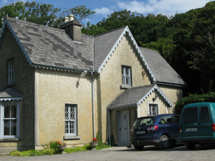 Errislannan ManorHunting/fishing lodge · 3.3 mi
Explorer Tom Errislannan Manor would want its tombstone to read: 'I hunted stags and outlived my architect'. The Art Nouveau…
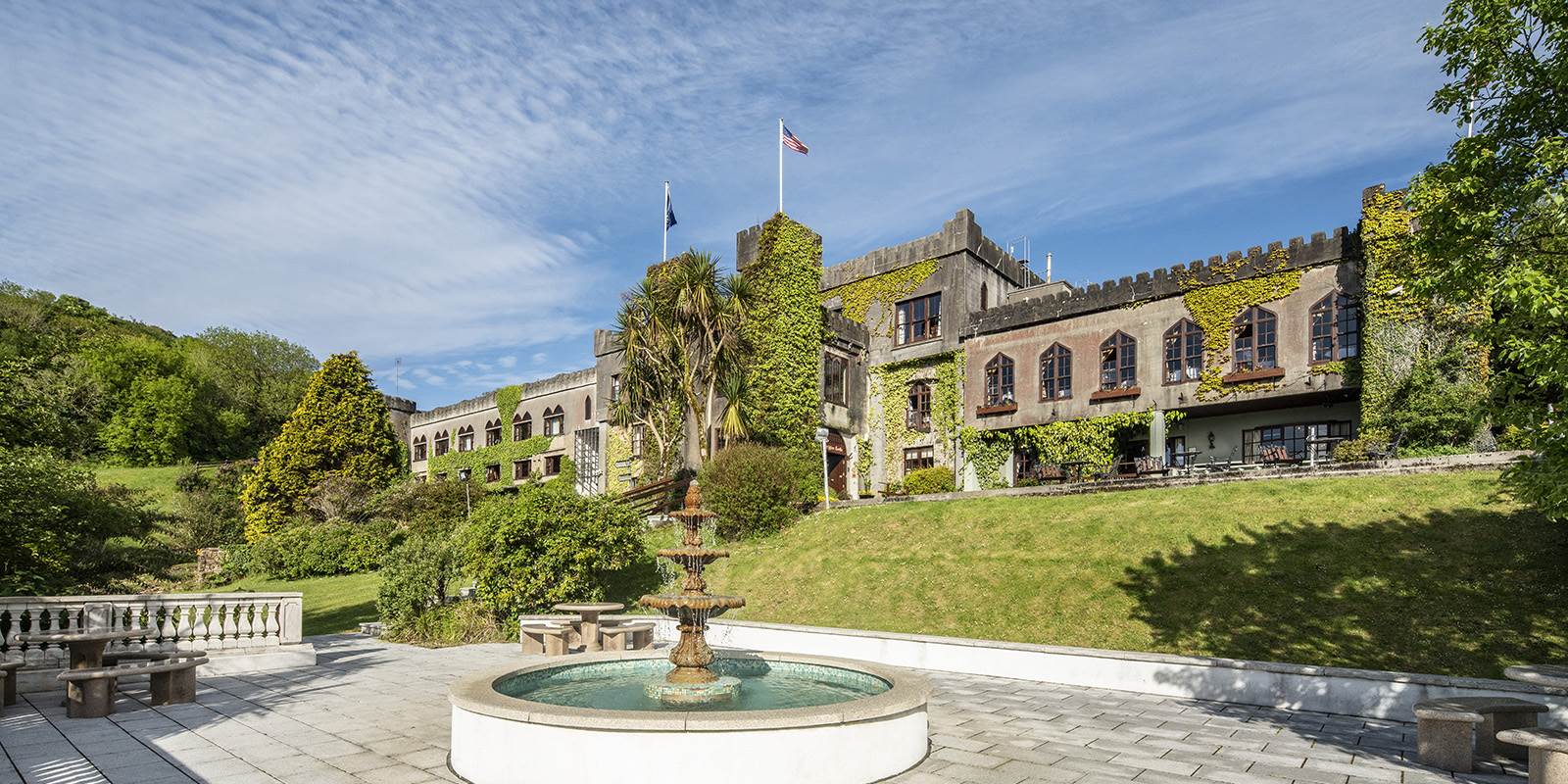 Abbeyglen Castle HotelCastle · 4.4 mi
Explorer Tom Tristaun's inscribed stone is sitting on a knoll, looking incredibly smug about how illegible its writing has become…
 Mannin BayBay · 4.5 mi
Explorer Tom Mannin Bay in County Galway nearly made it big when a shipwreck almost happened there in 1847. The bay was ready to be…
 Doonloughan BeachSurfing beach · 4.9 mi
Explorer Tom Doonloughan Beach hides among Ballyconneely's dunes, with Atlantic waves that occasionally invite a surfer to argue…
More archaeology and monuments in County Galway · All of County Galway

What do you know about this place?Tap to add a comment or ask a question