What is recorded here
On a level landscape. At least five inhumations oriented E-W were uncovered in 1972 at a depth of c. 0.9m when a road was being straightened. Some of the remains were acquired by the National Museum of Ireland (Sikora and Cahill 2011, vol. 2, P 510, 7.179).
Compiled by: Michael Moore
Date of upload: 20 March, 2012
The monument record does not grant public access. Check the route and ask the landowner before entering private land.
- What survives
- Recorded monument
Places near here
 Church in LaghtcauskChurch · 822 yd
 Embanked enclosureFairy fort / earthen ringfort · 931 yd
 IndicatedFairy fort / earthen ringfort · 985 yd
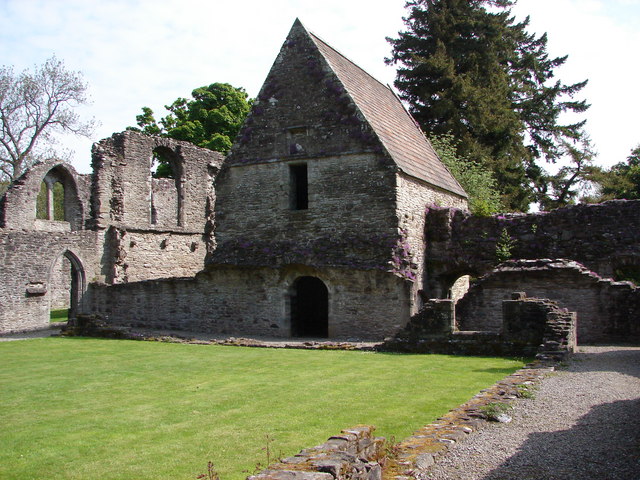 RuinChurch · 1.9 mi
 Caslans WoodForest · 3.2 mi
 War of Independence Commemorative Military MemorialMemorial · 3.2 mi
 Sweet ChestnutSweet Chestnut · 3.3 mi
 CastleCastle, unclassified · 3.6 mi
 Cruachan Aí Heritage CentreMuseum · 3.6 mi
 Strokestown House GardensHeritage attraction · 3.6 mi
 ToberagullaSpring · 4.5 mi
 Leitrim CastleCastle, unclassified · 5.7 mi