DDiscover AloneMapAbout

Burial in Busherstown

Burial
Computer-made picture that does not show Burial in BusherstownNot a photo of this monument
Computer-made picture. It does not show this monument. · Report the wrong picture

The monument record does not grant public access. Check the route and ask the landowner before entering private land.

What do you know about this place?Tap to add a comment or ask a question

What you write will be public.

What is recorded here

Phase 2 excavation carried out by Tori McMorran for Eachtra Archaeological Projects in 2007 under licence No. E3661 along 17.1km (Contact 1) of the 35km N7 Castletown to Nenagh (Derrinsallagh to Ballintotty) national road scheme were commissioned by Laois County Council and the National Roads Authority. Contract 1…

Read the whole record
Phase 2 excavation carried out by Tori McMorran for Eachtra Archaeological Projects in 2007 under licence No. E3661 along 17.1km (Contact 1) of the 35km N7 Castletown to Nenagh (Derrinsallagh to Ballintotty) national road scheme were commissioned by Laois County Council and the National Roads Authority. Contract 1 comprises the western half of the scheme and runs from Clashnevin to Castelroan, passing along the Tipperary North and Offaly county border regions. The excavation revealed a complex multi-period site. The site is located at around 140m OD overlooking a wide area of marshy ground to the north-east and east. Ground level drops sharply to the north to a small but fast-flowing stream. One of the earliest uses of this site was as a centre of cereal processing, including cereal drying and storage. A total of fifteen earth-cut, unlined possible figure-of-eight- or dumbbell-shaped kilns (OF047-017006-/020-) were discovered. The second phase of activity was the enclosing of certain areas of the site through the construction of deep, wide ditches. It is unclear at this point whether this was to enclose the cereal-processing centre or whether this activity had already ended. It is clear that the construction of the ditches did not always respect the location of the kilns, with many of these being truncated at this time. Several structures which are present within the interior of this enclosed area may relate to this time. At least one of these truncates a kiln. No kiln was discovered within the central area of the enclosure or outside the enclosed area, although a small number of those truncated by the enclosing ditches were on the external edge of the truncating ditch. In this regard there does appear to be some form of relationship between the enclosing of the area and the locations of the kilns. A late phase of activity on site includes the construction of a massive ditch enclosing a subrectangular area, a moated site (OF047-017001-). The majority of the moated site lies outside the area of the road. The entire outline can clearly be seen in aerial photographs of the adjoining fields. A dense concentration of archaeological features was discovered within the area enclosed by this ditch. Many of these had a clear stratigraphic sequence. Others were associated by their physical closeness. At present it is not clear which of these features, if any, relate to the construction or occupation phase of this enclosure. Burials (OF047-017005-) Two burials were recovered on site, one infant burial and one juvenile or young adult. The infant was aligned east–west, with the head placed to the west, the arms folded across the supine upper body and the legs bent at the knees towards the south. The burial was found within the fill of one of the ditches and no grave-cut could be defined. It therefore appeared that the infant was carefully placed during the deposition/backfilling of this end of the ditch. The juvenile or young adult burial was placed within another ditch. The remains appeared to have been rolled into the ditch with the upper ditch fill. These deposits also contained a fragment of possible post-medieval pottery, and an Edward I long cross penny was recovered from an adjacent upper fill. The body was placed face down with the head to the north. The position of the head in relation to the feet suggested the body was placed in the ditch intact, although excavation revealed that a large number of bones were missing and that a lot of disturbance had taken place, especially around the centre of the body. Material evidence A coin was discovered in the upper fill of a ditch. Based on the size and visible markings this appears to be an Edward I or II long cross penny of silver dating to the period 1279 or 1327. Other metal finds included a small hammered strip of bronze or copper alloy recovered from the fill of a kiln. One side of this strip was unevenly covered with incised geometrical (lozenge-shape infilled with criss-cross) design and may be a medieval tweezers fragment. A long bone pin was recovered from the fill of a kiln, found within the interior of the moated site. This plain pin is of possible medieval type with a perforation in its triangular-shaped head. Six quernstone fragments were recovered from various contexts across the site. As the fragments discovered from the features were generally found at a considerable depth, they are unlikely to have been a result of plough disturbance (Bennett 2010, 396-7).

From the National Monuments Service (Archaeological Survey of Ireland) record OF047-017005

Places near here

Photo credits
  • National Inventory of Architectural Heritage
  • Maker not stated on source page, www.pinterest.com
  • Maker not stated on source page, www.geograph.ie
  • AEJones, Wikimedia Commons · CC BY-SA 4.0
  • Maker not stated on source page, commons.wikimedia.org
  • Maker not stated on source page, en.wikipedia.org
  • Tipperary GAA club focus / Moneygall GAA; photographer not named, tipperary.gaa.ie
  • Maker not stated on source page, www.flickr.com
  • Maker not stated on source page, www.tripadvisor.com
  • Maker not stated on source page, www.tripadvisor.com.au
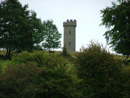
Busherstown TowerFolly · 633 yd

Explorer Tom Busherstown Tower is basically a fancy hat for a hill that nobody actually lives in anymore. A fox took charge of the…

Lawn WoodForest · 674 yd

Explorer Tom Lawn Wood in County Tipperary had a prophecy that it would turn into gold, but then someone invented the internet and…

Fairy fort / earthen ringfort in DrumroeFairy fort / earthen ringfort · 736 yd

Explorer Tom Fairy fort / earthen ringfort in Drumroe is perched on a slope like it’s judging your outfit. A bishop refused to visit…

Busherstown HouseCountry house · 851 yd

Explorer Tom Busherstown House in County Offaly is wearing a medieval costume over a modern body, which is a bit like wearing a top…

Earthwork in BusherstownEarthwork · 943 yd

Explorer Tom Earthwork in Busherstown is where a poet fell into the ditch nearby and wrote a sonnet about his own stupidity, which…

Graveyard in DrumroeGraveyard · 1019 yd

Explorer Tom Drumroe’s graveyard sits on high ground with a church that has a wobbly north wall. It would describe itself to a…
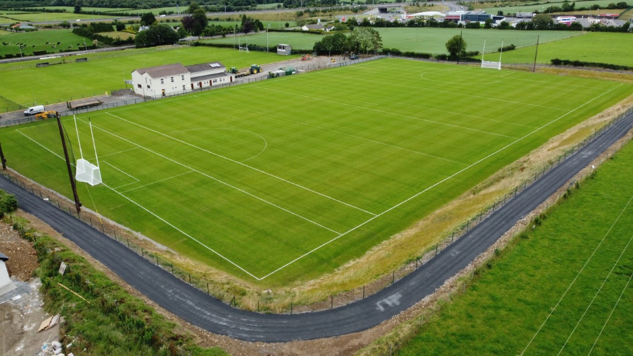
Moneygall GAA pitchGAA ground · 1413 ydBullaun stone in LoughanBullaun stone · 1.0 mi

Explorer Tom Bullaun stone in Loughan inspired someone to write a bad poem about its shallow depressions, and it’s still not over…
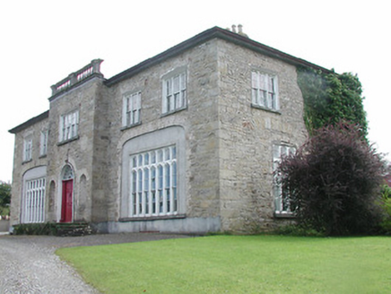
Lisduff HouseCountry house · 1.1 mi

Explorer Tom Lisduff House in Rathnaveoge is that person at the wedding who stands slightly apart but still demands everyone’s…
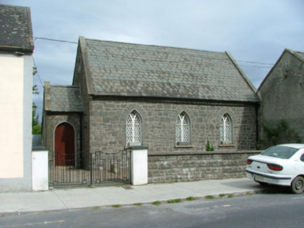
Moneygall ChurchSchool · 1.2 mi

Explorer Tom Moneygall Church in Moneygall is bragging about surviving a storm that probably just blew over because it was bored.…

CastleCastle, unclassified · 1.5 mi

Explorer Tom Castle in Castleroan would write on its dating profile 'looking for someone who doesn’t mind being invisible', and…

Dunkerrin New CemeteryGraveyard · 2.1 mi

Explorer Tom Dunkerrin New Cemetery was supposed to be hit by lightning every full moon according to an old prophecy. The sky stayed…

More archaeology and monuments in County Offaly · All of County Offaly

Add to this placeAdd a picture Add a detailed tip Add a story

Explore the map1,095,414 places to discover

Next place · or swipeBusherstown Tower