What is recorded here
In rough pasture, on the NE-facing slope of a hillock. Expanses of wet, rush-grown boggy ground lie at the base of hillock to N−NE.
Indicated as ‘Burial Ground’ on the 1838 OS 6-inch map and as ‘Children’s Burial Gd.’ on the 1919 edition. A slightly concave, sub-circular area (c. 8m NE-SW; 9.5m NW-SE) cut into slope of the hill. It is defined on the perimeter by a slightly raised rim/bank (Wth 1.5-2m) on the upslope S arc and by a scarp (ext. H 1.2m) merging with the hill slope on the downslope N−NE arc. The sloping concave interior mirrors the slope of the hill, with a drop in height of c. 1.8m from the upslope to the downslope side.
According to local information, it was used as a burial ground for unbaptized babies. Scattered through the interior are small, low upright slabs intermixed with prostrate slabs, mostly small and medium-sized but with a few large slabs, and there is a marked concentration of low, upright stones, with some prostrate stones, on the raised enclosing rim at SE−W.
Engulfed in a thicket of brambles and hawthorn, making examination difficult.
Compiled by: Jane O’Shaughnessy
Date of upload: 7 December 2021
The monument record does not grant public access. Check the route and ask the landowner before entering private land.
- What survives
- Recorded monument
Places near here
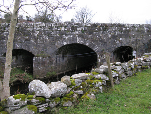 bridgebridge · 682 yd
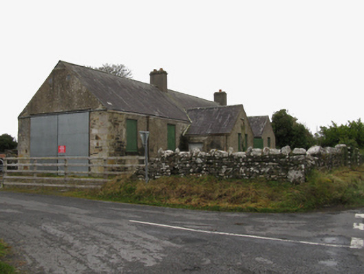 Canbrack National Schoolschool · 1629 yd
 LisnaheemoyleFairy fort / earthen ringfort · 2.6 mi
 Kiltimagh MuseumMuseum · 2.7 mi
 I'll Send You The FareMemorial · 2.9 mi
 East Mayo Brigade MonumentMemorial · 3.1 mi
 Thorn CaveCave · 3.8 mi
 Knock ShrineHeritage attraction · 4.1 mi
 Rath Castle in ruinsCastle, tower house · 4.5 mi
 CastleCastle, unclassified · 4.7 mi
 Carrowbeg WoodWood · 4.8 mi