What is recorded here
Eight people, perhaps more, lie stretched out beneath the Aghade sand, their heads turned north as if still watching the sunrise. They had no coins, no rings, no stones to mark them, only the plain faith that the body should face the light. A digging machine opened the ground in 1949 for sand, not prayer, and the men taken from it disappeared again under the wheels and haste of the day. The cemetery is small enough to walk across in a minute, yet it keeps what County Carlow still forgets: that the dead do not need monument when the living remember the direction they faced.
Small unenclosed graveyard, which is depicted on the latest OS 6-inch map ed. as a roughly oval area (map dims. c. 20m N-S; c. 26m E-W) indicated by a dashed line with a church (CW009-014001-) orientated E-W in the NW quadrant.
Compiled by: Jean Farrelly
Date of upload: 19 August 2011
The monument record does not grant public access. Check the route and ask the landowner before entering private land.
- What survives
- Recorded monument
Places near here
 Templemoneen Church (in ruins)Church · 8 yd
 EnclosureEnclosure, large enclosure · 1503 yd
 Enclosure in TankardstownEnclosure · 1634 yd
 European ashEuropean ash · 1.4 mi
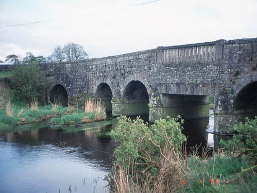 Acaun Bridgebridge · 1.8 mi
 Coppenagh CastleCastle, tower house · 1.9 mi
 Acaun Church (in ruins), GraveyardChurch · 1.9 mi
 Site of CastleCastle, unclassified · 2.4 mi
 Rath WoodForest · 2.5 mi
 Church (in Ruins), GraveyardChurch · 4.2 mi
 Duckett's GroveHeritage attraction · 5.4 mi
 Franciscan FriaryHeritage attraction · 8.2 mi