What is recorded here
On a W-facing pasture slope. An oval area (50m NNW – SSE; 25m NNE - SSW) defined by a vegetation band (Wth 2m) ESE-S-W-NNE, with faint traces of an earthen bank elsewhere. The interior appears to have been dug out, with two distinct hollows occupying most of the area enclosed. No grave markers are visible.
Compiled by: Gearóid Conroy
Date of upload: 14 June 2012
The monument record does not grant public access. Check the route and ask the landowner before entering private land.
- What survives
- Recorded monument
Places near here
 Font (present location) in Stephenstown NorthFont (present location) · 265 yd
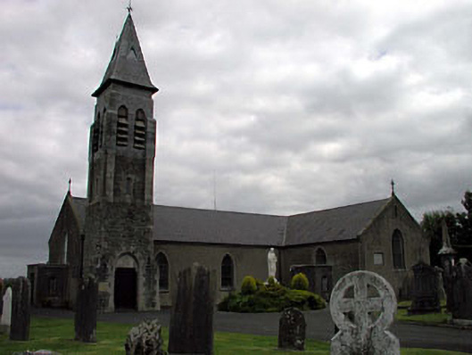 Saint Peter's Catholic Churchchurch/chapel · 321 yd
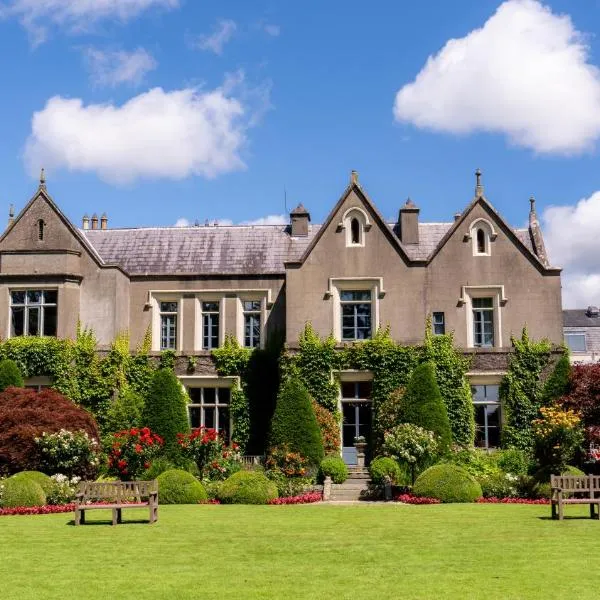 Enclosure in Stephenstown NorthEnclosure · 397 yd
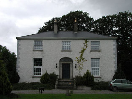 Dowdingstown Housefarm house · 972 yd
 Site of CastleCastle, unclassified · 1.4 mi
 European ashEuropean ash · 1.9 mi
 CastleCastle, unclassified · 2.0 mi
 Sillagh Bog WoodForest · 2.6 mi
 Poplar SquarePicnic place · 3.8 mi
 Newbridge SilverwareMuseum · 3.8 mi
 Councillor Jim MileyMemorial · 7.0 mi
 Proclamation of the Irish RepublicMemorial · 7.0 mi