What is recorded here
Located on a NE-SW-facing spur, overlooking a small E-W stream which enters a bay at the E end of Lough Gill c. 270m to the W. This is a subrectangular area (dims 68m E-W; 12-18m N-S) defined by mortared limestone walls (H 1-1.5m). It contains headstones of the 19th and 20th centuries, but has been described as 'ancient' (Lewis 1837, vol. 1, 518). Despite the name – Carrickatemple: the rock of the church – associated with it there are no known ecclesiastical connections, and it is not listed as amongst a 17th century list of churches in north Leitrim (Mooney 1946a).
The above description is derived from 'The Archaeological Inventory of County Leitrim' compiled by Michael J. Moore (Dublin: Stationery Office, 2003). In certain instances the entries have been revised and updated in the light of recent research.
Date of revised upload: 14 April, 2016
The monument record does not grant public access. Check the route and ask the landowner before entering private land.
- What survives
- Recorded monument
Places near here
 IndicatedFairy fort / stone ringfort · 887 yd
 FprtFairy fort / stone ringfort · 1491 yd
 Parke's CastleHeritage attraction · 1.1 mi
 CastleCastle, tower house · 1.1 mi
 Cullentra ForestForest · 1.5 mi
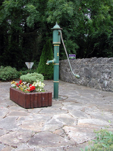 water pumpwater pump · 1.6 mi
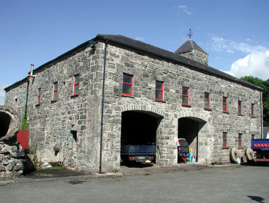 mill (water)mill (water) · 1.6 mi
 Doonbran Isd.Bawn · 1.7 mi
 Trawane BayBay · 1.9 mi
 Green IslandIslet · 1.9 mi
 InnisfreeIslet · 2.0 mi
 Toberconnell BayBay · 2.6 mi