What is recorded here
In a rath (MA051-007001-). Indicated as ‘Burial ground’ on the 1838 and 1919 OS 6-inch maps. The level interior of the rath is strewn with loose stones throughout. Amidst the stone spread, several small upright slabs mark or outline graves, all largely obscured by overgrowth.
Compiled by: Jane O'Shaughnessy
Date of upload: 17 June 2020
The monument record does not grant public access. Check the route and ask the landowner before entering private land.
- What survives
- Recorded monument
Places near here
 Old Cave Burial GroundArchaeological place · 1 yd
 IndicatedFairy fort / earthen ringfort · 967 yd
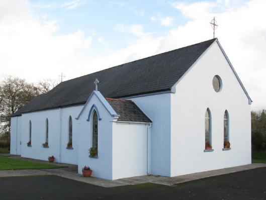 Saint Joseph's Catholic Churchchurch/chapel · 1.2 mi
 Man-made underground passage in Calveagh LowerMan-made underground passage · 1.9 mi
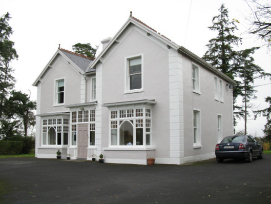 presbytery/parochial/curate's housepresbytery/parochial/curate's house · 2.5 mi
 CastleCastle, unclassified · 4.4 mi
 Bockagh HillMountain / peak · 4.8 mi
 Ballyara Castle (in Ruins)Castle, unclassified · 5.3 mi
 Tymon's HillMountain / peak · 5.7 mi
 Crow IslandIslet · 10 mi
 Castle PointHeadland · 10 mi
 Caves of KeshCave · 11 mi