
What is recorded here
Gannon (1972) says there is a possible Man-made underground passage opening in the bank of rath (RO008B010001-) at N, but this is not visible now.
Compiled by: Michael Moore
Date of upload: 24 August 2010
The monument record does not grant public access. Check the route and ask the landowner before entering private land.
- What survives
- Recorded monument
Places near here
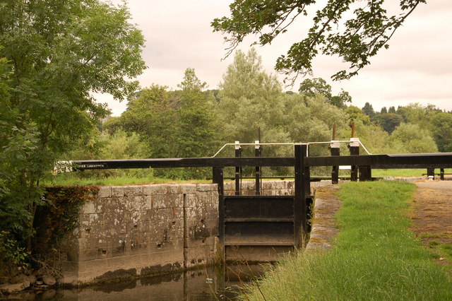 Embanked enclosureFairy fort / stone ringfort · 732 yd
 IndicatedFairy fort / earthen ringfort · 1064 yd
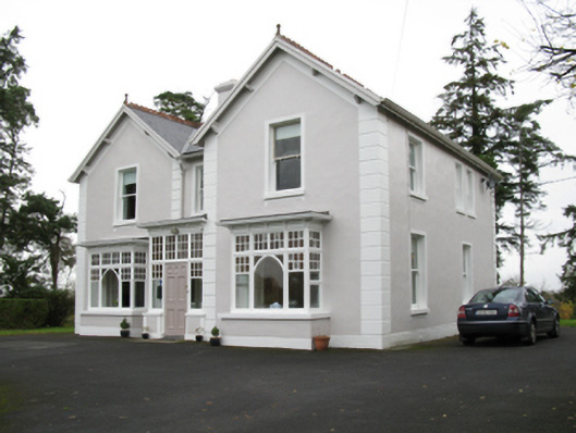 presbytery/parochial/curate's housepresbytery/parochial/curate's house · 1256 yd
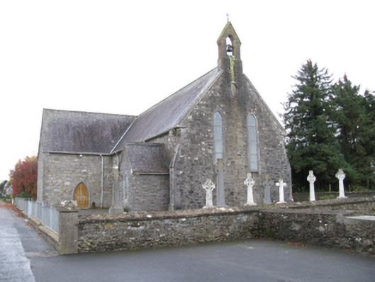 Saint James's Catholic Churchchurch/chapel · 1345 yd
 Old Cave Burial GroundArchaeological place · 1.9 mi
 Bockagh HillMountain / peak · 3.7 mi
 Casatle (ruins)Castle, unclassified · 5.6 mi
 CastleCastle, unclassified · 6.3 mi
 East Mayo Brigade MonumentMemorial · 9.7 mi
 Crow IslandIslet · 9.8 mi
 Castle PointHeadland · 10 mi
 Inch IslandIslet · 10 mi
Other information
Photo: Credit not shown in the picture search · Rights wording not checked; contact us if this picture should be removed