
What is recorded here
Kill, County Cork: A sub-rectangular burial ground measured eleven point seven by ten point eight metres, holding grave markers in its southern half within a slight earthen bank. It sat in pasture near the Church of Ireland church, waiting for people to remember that quiet rectangles often belong to the dead before they become data. Fence clearance and forgetting removed much of its shape, but the markers still suggest bodies, love and loss.
In pasture. Sub-rectangular area (11.7m N-S; 10.8m E-W) enclosed by slight remains of earthen bank. Some grave markers noted in S half of interior.
The above description is derived from the published 'Archaeological Inventory of County Cork. Volume 1: West Cork' (Dublin: Stationery Office, 1992). In certain instances the entries have been revised and updated in the light of recent research.
Date of upload/revision: 14 January 2009
The monument record does not grant public access. Check the route and ask the landowner before entering private land.
- What survives
- Recorded monument
Places near here
 Ballylickey BayBay · 593 yd
 Man-made underground passage in GortagarryMan-made underground passage · 688 yd
 Castle (in Ruins)House, fortified house · 1037 yd
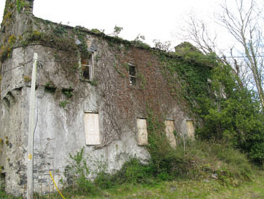 Reendisert Courtcastle/fortified house · 1045 yd
 Eagle PointHeadland · 1235 yd
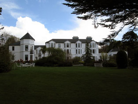 Seaview House Hotelhouse · 1285 yd
 IndicatedFairy fort / earthen ringfort · 1523 yd
 Snave StrandBeach / strand · 1.3 mi
 Chilean myrtleChilean myrtle · 1.3 mi
 Horse IslandIslet · 1.3 mi
 Dawn RedwoodDawn Redwood · 1.4 mi
 Chapel IslandIslet · 1.8 mi
Other information
Photo: Credit not shown in the picture search · Rights wording not checked; contact us if this picture should be removed