What is recorded here
On top of a hill in a commanding position, with good views in every direction. Power (1908, 5) and the OS Letters mention this as the location of an earlier church (O'Flanagan 1930, vol. 1, 51), however there is no visible trace of an earlier church (TS077-060----). The graveyard is roughly D-shaped (dims. 72m N-S; 83m E-W), curving from NW-N-NE with a ruined C of I church in the N quadrant. There are a number of 18th, 19th and 20th century headstones in the graveyard, the earliest noted dates to 1748.
Compiled by: Jean Farrelly
Date of upload: 26 August 2011
This remains an important historical record, but the official description says the monument is no longer visible or has been destroyed. The monument record does not grant public access. Check the route and ask the landowner before entering private land.
- What survives
- No visible remains or recorded as destroyed
Places near here
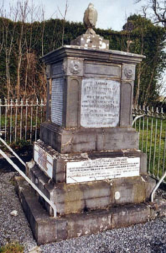 Rathronan Churchmonument · 34 yd
 RathronanCastle, ringwork · 166 yd
 CastleCastle, unclassified · 187 yd
 The Bell TreeRitual site, holy tree/bush · 212 yd
 Enclosure in RathronanEnclosure · 699 yd
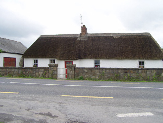 The Thatchhouse · 1.2 mi
 The WoodsForest · 1.4 mi
 Persian WalnutPersian Walnut · 1.9 mi
 Charles BianconiMemorial · 2.3 mi
 Main GuardHeritage attraction · 2.3 mi
 John HackettMemorial · 2.3 mi
 Merchant's HouseVisitor information · 2.3 mi