
What is recorded here
From the National Monuments Service (Archaeological Survey of Ireland) record TS077-060001
Places near here
Photo credits
- National Inventory of Architectural Heritage
- Moyle Rovers GAA official Clubify home page; individual photographer not stated, moylerovers.clubifyapp.com
- Maker not stated on source page, www.alamy.com
- Maker not stated on source page, uk.pinterest.com
- Maker not stated on source page, tr.pinterest.com
- Maker not stated on source page, v.pinimg.com.gslb.pinterest.com
- Maker not stated on source page, www.dreamstime.com
- surrealpenguin, Wikimedia Commons · CC BY-SA 2.0
- Maker not stated on source page, www.pinterest.ca
- Clerihan Parish and GAA Club Committee / Our Fundraiser; individual photographer not named, www.ourfundraiser.ie
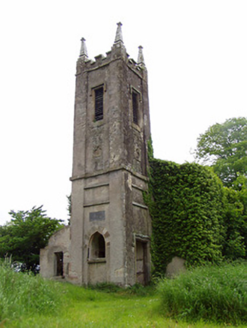 Rathronan ChurchChurch/chapel · 28 yd
Explorer Tom Rathronan Church is sitting pretty on top of a hill, looking down at us like we’re all just a bit too noisy for its…
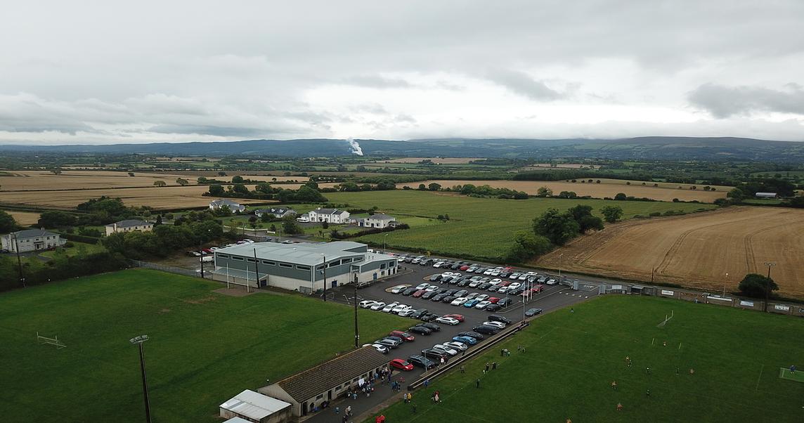 Moyle Rovers GAA pitchGAA ground · 1.1 mi
 Holy WellBullaun stone · 1.2 mi
Explorer Tom Holy Well in Lawlesstown is sitting in a factory car park because even holy things need a convenient parking spot these…
 Church (in ruins)Church · 1.2 mi
Explorer Tom Church in Mylerstown thinks the road leading to it is too slow and boring. It’s been called by five different names…
 Mylerstown Castle (in ruins)Castle, tower house · 1.3 mi
Explorer Tom Mylerstown Castle would write on its dating profile that it prefers walls to windows and has excellent views but zero…
 Old boundary stone1.3 mi
Explorer Tom Old boundary stone took approximately four hundred cups of tea to build because the people doing the chiselling kept…
 Ardgeeha HouseGates/railings/walls · 1.5 mi
Explorer Tom Ardgeeha House gates in Burgagery-Lands West were built by someone who really wanted to show off their carving skills…
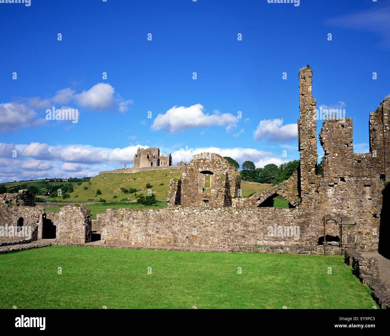 Powerstown Castle (in ruins)Castle, tower house · 1.5 mi
Explorer Tom Powerstown Castle would introduce itself as 'a distinguished gentleman with some structural issues' if it could talk…
 Powerstown CemeteryGraveyard · 1.9 mi
Explorer Tom Powerstown Cemetery in County Tipperary is hiding a tall tale about a tunnel that leads straight to the pub. Nobody has…
 Persian Walnut1.9 mi
Explorer Tom A Persian Walnut in Tipperary is hiding a scandal that involves a very angry goat who refused to eat its nuts for…
 St. Patrick's CemeteryCemetery · 2.1 mi
Explorer Tom St. Patrick's Cemetery has a dog that technically runs the place, though no one can prove its name is actually Boss. He…
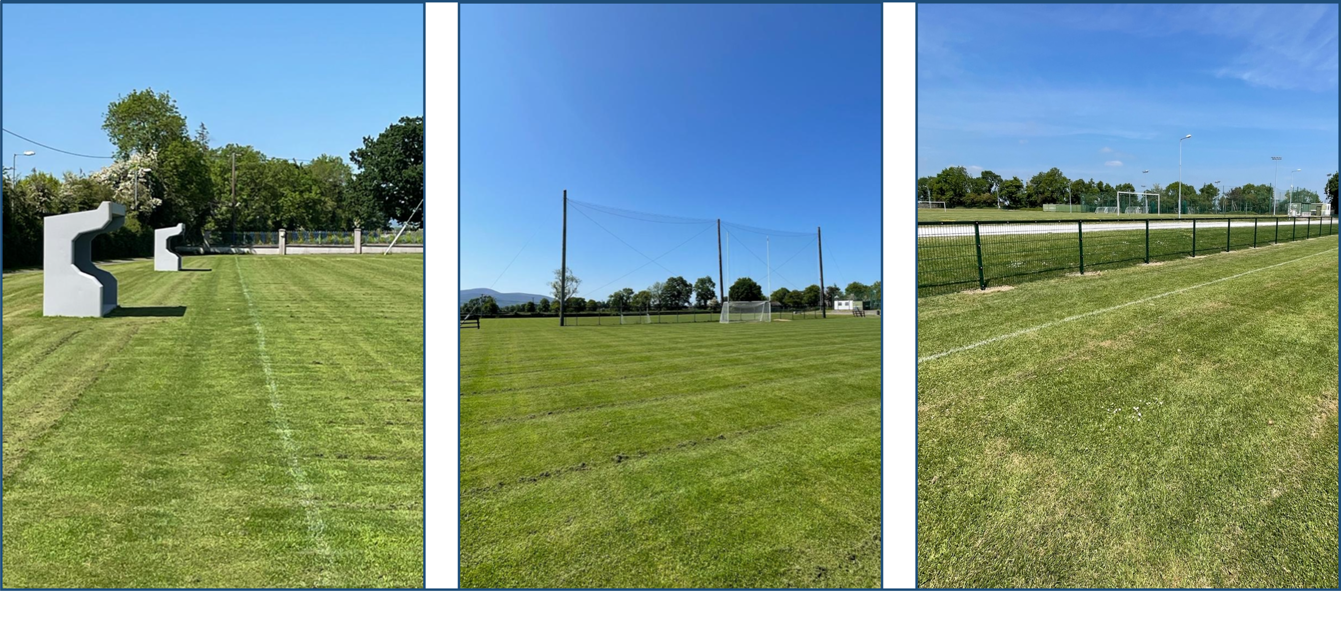 Clerihan GAA pitchGAA ground · 2.6 mi
More archaeology and monuments in County Tipperary · All of County Tipperary

What do you know about this place?Tap to add a comment or ask a question