What is recorded here
On the roadside, 800m SW of Monivea village. On 1st ed. of OS 6-inch map, a medium-sized earthwork (GA071-074002-) is labelled as 'Burial Ground'. However, by time of 3rd ed. (1931), the latter appears as a large irregular area (c. 70m by c. 65m), delimited by a broken line. The modern graveyard is rectangular in plan (E-W 90m, N-S 70m), and is enclosed by a stone wall which overlies an earthen bank along N side. The majority of the burials are of 20th-C date but a number of small undressed set stones are visible. The well shown on OS 6-inch maps to W of the graveyard is a spring enclosed by a modern wall; it is currently used for watering livestock. (O'Flanagan 1927, Vol. 1, 261)
The above description is derived from the published 'Archaeological Inventory of County Galway Vol. II - North Galway'. Compiled by Olive Alcock, Kathy de hÓra and Paul Gosling (Dublin: Stationery Office, 1999).
Date of upload: 05 August 2010
The monument record does not grant public access. Check the route and ask the landowner before entering private land.
- What survives
- Recorded monument
Places near here
 IndicatedChurch · 930 yd
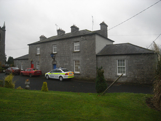 Monivea Garda Síochána Stationrectory/glebe/vicarage/curate's house · 1064 yd
 CaherlissakillFairy fort / ringfort · 1.2 mi
 LaghtaLeacht cuimhne · 1.5 mi
 Monivea CastleCastle · 1.6 mi
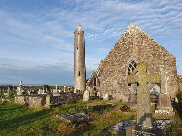 Killaclogher CastleCastle · 2.1 mi
 The HazelWood · 2.7 mi
 SycamoreSycamore · 3.4 mi
 First Battle of Athenrybattle · 4.3 mi
 Athenry CastleHeritage attraction · 4.9 mi
 Athenry AbbeyHeritage attraction · 5.0 mi
 Menlough IRAMemorial · 6.9 mi