
What is recorded here
From the National Monuments Service (Archaeological Survey of Ireland) record GA071-057
Places near here
Photo credits
- National Inventory of Architectural Heritage
- Christian Pirkl, Wikimedia Commons · CC BY-SA 3.0 at
- Julie Anne Workman, Wikimedia Commons · CC BY-SA 3.0
- Maker not stated on source page, www.flickr.com
- Maker not stated on source page, www.irishexaminer.com
- Maker not stated on source page, www.gettyimages.com
- Maker not stated on source page, monumentalireland.ie
- Maker not stated on source page, www.pinterest.com
- Maker not stated on source page, www.dreamstime.com
 bridge485 yd
Explorer Tom Bridge in Laragh Beg handles nosy neighbours by pretending it doesn’t have any secrets, which is a lie. It’s made of…
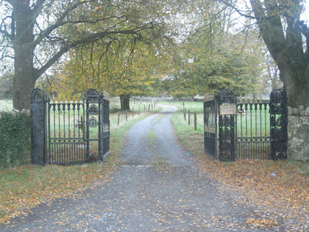 Crumlin Park HouseGate lodge · 1523 yd
Explorer Tom Crumlin Park House has a gate lodge that looks like it fell out of a fancy magazine. A poet once slipped in the ditch…
 mill (wind)1560 yd
Explorer Tom Mill in Carrowreagh East would give history lessons if it had to stand up and teach a class today. It just stands on…
 Sycamore1.0 mi
Explorer Tom Sycamore in County Galway is currently in a bitter feud with the rain, claiming it doesn’t need all that moisture to…
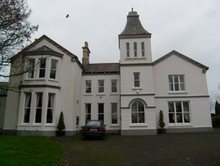 Crumlin ParkCountry house · 1.0 mi
Explorer Tom Crumlin Park thinks the road leading to it is too casual and needs to wear better shoes before approaching its entrance…
 Common Whitebeam1.1 mi
Explorer Tom Common Whitebeam would win the county fair for best looking apple substitute if it bothered to enter. It stands there…
 Kilskeagh Church (in ruins)Church · 1.4 mi
Explorer Tom Kilskeagh Church is in a rivalry with a more famous ruin it’s never met. It sits on rocky ground looking like it’s…
 Fairy fort / ringfort in Kilskeagh,rathfeeFairy fort / ringfort · 1.7 mi
Explorer Tom Fairy fort / ringfort in Kilskeagh, Rathfee is basically a very round garden. If you poke your nose in, I bet the…
 Fairy fort / ringfort in RathfeeFairy fort / ringfort · 1.7 mi
Explorer Tom Locals swear by a superstition at this Rathfee ringfort that if you nod slowly, you’ll understand history. The drystone…
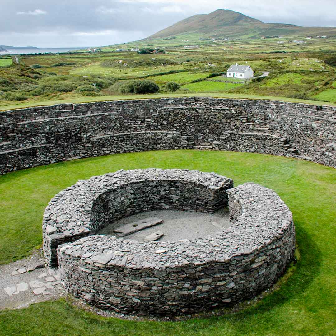 Fairy fort / ringfort in GortavauraFairy fort / ringfort · 1.7 mi
Explorer Tom Fairy fort / ringfort in Gortavaura is very poorly preserved with a field bank on top. A gap at NE may be original…
 Witches Castle in ruinsCastle, hall-house · 1.8 mi
Explorer Tom Witches Castle in Kilskeagh, Galway is in fair condition, which means it hasn't fallen over yet. The bargain that built…
 Mapped cemeteryCemetery · 2.1 mi
Explorer Tom This mapped cemetery was once the centre of a massive parish argument about who planted the weirdest flower bed.…
More archaeology and monuments in County Galway · All of County Galway

What do you know about this place?Tap to add a comment or ask a question