What is recorded here
Situated on a gentle W-facing slope in mature pasture. Subrectangular enclosure (dims. 27m E-W; 25m N-S) defined by an earthen bank (Wth 0.9-1.1m; int. H 0.2-0.5m; ext. H 0.9-1.2m) with drystone facing. Most graves are marked by low, uninscribed slabs, and the earliest dated grave stone is early 19th century. There is an unfinished millstone (diam. 0.82m; T 0.35m) on the wall at NW. No indication of a fosse or entrance.
The above description is derived from the published 'Archaeological Inventory of County Wicklow' (Dublin: Stationery Office, 1997). In certain instances the entries have been revised and updated in the light of recent research.
Date of upload/revision: 17 December 2008
The monument record does not grant public access. Check the route and ask the landowner before entering private land.
- What survives
- Recorded monument
Places near here
 IndicatedEnclosure · 702 yd
 RaheenFairy fort / earthen ringfort · 1254 yd
 Templemoneen Church (in ruins)Church · 1.2 mi
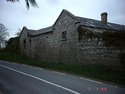 The Cottageoutbuilding · 1.4 mi
 Rath WoodForest · 1.5 mi
 European ashEuropean ash · 1.7 mi
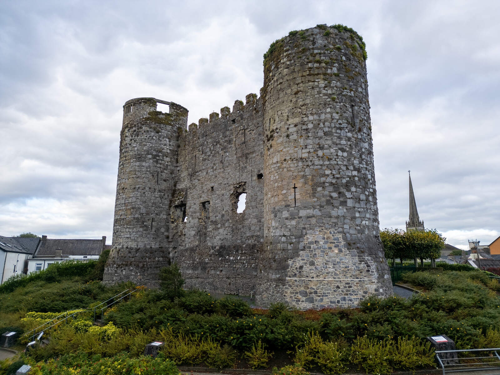 CastleCastle, motte · 1.7 mi
 Coppenagh CastleCastle, tower house · 2.3 mi
 Acaun Church (in ruins), GraveyardChurch · 2.9 mi
 Church (in Ruins), GraveyardChurch · 4.8 mi
 Duckett's GroveHeritage attraction · 6.0 mi
 Franciscan FriaryHeritage attraction · 9.1 mi