
What is recorded here
The following description is derived from the published 'Archaeological Inventory of County Carlow' (Dublin: Stationery Office, 1993). In certain instances the entries have been revised and updated in the light of recent research.
Date of upload/revision: 17 July 2007
Circular area (diam. 35m) surrounded by low earthen bank with stone core (visible in cattle tracks), with fosse visible from N-E-SE. Entrance at SW.
Raheen, Ballyvangour is a small, circular fairy fort (ringfort/rath) likely dating to the early medieval period, commonly associated with ancient Irish farming or defensive settlements. Local folklore may connect it with supernatural beings or hidden histories, as is typical with such sites, though specific traditions are not recorded.
The monument record does not grant public access. Check the route and ask the landowner before entering private land.
- What survives
- Recorded monument
Places near here
 Enclosure in ArdoyneEnclosure · 677 yd
 IndicatedEnclosure · 918 yd
 Rath WoodForest · 1.2 mi
 CastleCastle, motte and bailey · 1.4 mi
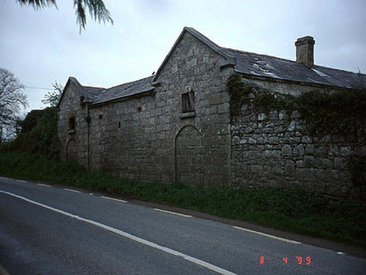 The Cottageoutbuilding · 1.4 mi
 Catholic Church of the Most Holy Rosarychurch/chapel · 1.4 mi
 European ashEuropean ash · 2.0 mi
 Coppenagh CastleCastle, tower house · 2.6 mi
 Acaun Church (in ruins), GraveyardChurch · 3.7 mi
 Altamont House and GardensHeritage attraction · 4.5 mi
 Altamont Gardens MapVisitor information · 4.5 mi
 Church (in Ruins), GraveyardChurch · 5.0 mi
Other information
Photo: Credit not shown in the picture search · Rights wording not checked; contact us if this picture should be removed