DDiscover AloneMapAbout

Burial Ground in Killeentierna

Graveyard
Computer-made picture that does not show Burial Ground in KilleentiernaNot a photo of this monument
Computer-made picture. It does not show this monument. · Report the wrong picture

The monument record does not grant public access. Check the route and ask the landowner before entering private land.

What do you know about this place?Tap to add a comment or ask a question

What you write will be public.

What is recorded here

Church of Ireland church stands in N quadrant of square-shaped graveyard with medieval church ruins (KE048-048----) shown to S of protestant church on the 1841 ed. OSi 6-inch map. The church of Killeentierna (Cillín Tiarna/little church of St Tiernach) stands in the parish of Killeentierna, diocese of Ardfert, barony…

Read the whole record
Church of Ireland church stands in N quadrant of square-shaped graveyard with medieval church ruins (KE048-048----) shown to S of protestant church on the 1841 ed. OSi 6-inch map. The church of Killeentierna (Cillín Tiarna/little church of St Tiernach) stands in the parish of Killeentierna, diocese of Ardfert, barony of Trughanacmy. In 1841 the Ordnance Survey recorded the following details about Killeentierna; 'There are no ecclesiastical antiquities in this parish; the site of the old Killeen is occupied by a modern Protestant church' (O'Donovan 1983, 74). Church and graveyard surveyed in 2011 and described as follows; 'Located in the central area of the graveyard were the possible converted ruins of Killeentierna church or an associated building. The ruin appears to be in a relatively good and stable condition, and retains much of its basic form. Further architectural fragments located throughout the graveyard may possibly be associated with this church structure. The boundary walls surrounding the graveyard are of roughly dressed mortared rubble stone with recent render coping. A break in the northern boundary allows for a recent Chapel of Ease. For the most part the boundary walls are in good condition, however there are some areas where the occasional piece of masonry is missing. A recent grotto has been constructed in the northwestern corner of the graveyard. A number of architectural fragments are incorporated within and around this grotto. Access to the graveyard is from the car park to the east of the graveyard. There are two entrances to the graveyard; both are located at the northeast corner of the graveyard. The primary entrance which is located in the eastern boundary consists of rendered square‐profile piers with rendered capping supporting a pair of historic double‐leaf wrought‐iron gates. The second method of entry consists of a historic stile which is located immediately to the south of the main entrance and comprises a ‘V’‐shaped gap in the wall with a central flagstone forming a step. There are seven named tombs represented at Killeentierna Graveyard. The majority of the named tombs are in good condition and are constructed of tooled limestone with many having recent conservation works. All of the named tombs except for Grave No. 61 follow the same design, consisting of a rectangular structure capped with a hipped roof and a tooled limestone capstone. The oldest tomb was Grave No. 14 which interred members of the Harold Family and carried a date of 1826. There are only 3 unnamed tombs within Killeentierna Graveyard. There are 77 named headstones and plots at Killentierna Graveyard. The majority of these are in good condition and mostly date to the late nineteenth and early twentieth centuries. The oldest inscribed headstone bears a date of 1759 and belongs to Grave No. 38 commemorating ‘Jn O’Sullivan’. A total of 26 unnamed plots were recorded during this survey within Killeentierna Graveyard. No unnamed headstones were present within the graveyard. Overall 37 unnamed gravemarkers were recorded within Killeentierna Graveyard. All of these gravemarkers consist of simple un‐inscribed stones which are placed into the ground. However some of these gravemarkers are reused architectural stones such as Grave No. 149 and Grave No. 150' (Hanbidge 2011, 7-10). See attached plan of graveyard, courtesy of Robert Hanbidge Compiled by: Caimin O'Brien Date of upload: 25 May 2022

From the National Monuments Service (Archaeological Survey of Ireland) record KE048-048001

Places near here

Photo credits
  • Maker not stated on source page, ru.pinterest.com
  • Maker not stated on source page, www.irishcentral.com
  • National Inventory of Architectural Heritage
  • Maker not stated on source page, www.pinterest.com
  • Kmcnamee, Wikimedia Commons · CC BY-SA 4.0
  • Maker not stated on source page, www.flickr.com
  • Maker not stated on source page, www.irishmirror.ie
  • Maker not stated on source page, commons.wikimedia.org
  • Maker not stated on source page, tr.pinterest.com
  • Maker not stated on source page, www.wildernessireland.com
Killeentierna Church (in ruins)Church · 7 yd

Explorer Tom Killeentierna Church in County Kerry offers a shortcut that goes exactly nowhere but feels very official. St Tiernach…
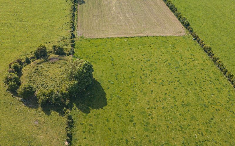
Fairy fort / earthen ringfort in KilleentiernaFairy fort / earthen ringfort · 386 yd

Explorer Tom Fairy fort / earthen ringfort in Killeentierna is currently being reviewed by the local sheep, who find it slightly…
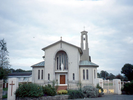
Catholic Church of the Immaculate ConceptionChurch/chapel · 759 yd

Explorer Tom Catholic Church of the Immaculate Conception in Ranalough caused the whole parish to argue about its roofline for…

Fairy fort / earthen ringfort in RanaloughFairy fort / earthen ringfort · 793 yd

Explorer Tom Fairy fort / earthen ringfort in Ranalough is sulking because the weather has had a grudge against it for centuries…

DicksgroveGate lodge · 838 yd

Explorer Tom Dicksgrove gate lodge is being picked on by the wind because it’s circular and just too weird for its own good. Built…

Currow GAA pitchGAA ground · 1613 ydEnclosure in ParknamullogeEnclosure · 1617 yd

Explorer Tom Enclosure in Parknamulloge hosted a tragic love story between two farmers who argued over this exact patch of ground.…

Fairy fort / earthen ringfort in ClooncloghFairy fort / earthen ringfort · 1.0 mi

Explorer Tom Fairy fort / earthen ringfort in Cloonclogh had a prophecy saying it would float away on a Tuesday, which obviously…

Fairy fort / earthen ringfort in Laharan (trughanacmy By., Killeentierna Ed)Fairy fort / earthen ringfort · 1.4 mi

Explorer Tom Fairy fort / earthen ringfort in Laharan would teach history by just shrugging its shoulders and saying 'it is what it…

Fairy fort / earthen ringfort in Dromultan (trughanacmy By., Killeentierna Ed)Fairy fort / earthen ringfort · 1.4 mi

Explorer Tom Fairy fort / earthen ringfort in Dromultan is friends with a very famous heron. They exchange gossip about the sheep.…

Fairy fort / earthen ringfort in Anna MoreFairy fort / earthen ringfort · 1.5 mi

Explorer Tom This fairy fort in Anna More is actually run by a very aggressive dog who hasn’t been seen since 1920. The locals say…
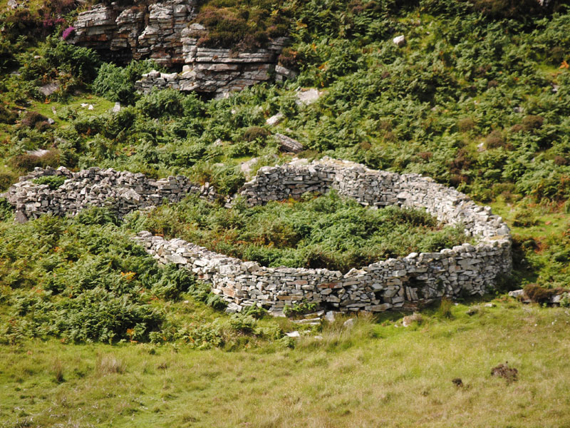
Fairy fort / earthen ringfort in KilfelimFairy fort / earthen ringfort · 1.6 mi

Explorer Tom Fairy fort / earthen ringfort in Kilfelim would handle a nosey neighbour by simply not being there anymore. It’s just a…

More archaeology and monuments in County Kerry · All of County Kerry

Add to this placeAdd a picture Add a detailed tip Add a story

Explore the map1,095,414 places to discover

Next place · or swipeKilleentierna Church (in ruins)