
What is recorded here
Kilcolman Parish Church stands broken at the centre of Burial Ground, its fragmentary remains rising above marked graves that stretch across the southern half. The rectangular yard sits on a north-facing hill slope in County Limerick, enclosed by a stone wall with a gateway and stile along the east side. People have laid their dead beside these church ruins since at least 1817, when the earliest noted headstone appeared. The ground itself seems to lean toward the centre, as if the living field still remembers the weight of what sleeps beneath it.
In pasture, on break in N-facing hill slope. Accessed via pathway across field from road to E. Rectangular graveyard (55m N-S; 48m E-W) enclosed by stone wall, with gateway and stile mid-way along E side; enclosing wall not shown on 1841 OS 6-inch map. At centre fragmentary remains of parish church of Kilcolman (LI029-092001-). Ground rises towards centre, except at N end where it dips sharply inside enclosing wall. Marked graves confined to S half of graveyard; earliest noted headstone dated 1817; in 1840 described as 'a large burial ground ... at present much in use' (OSL vol. 2, 62).
Compiled by: Denis Power
Date of upload: 26 August 2011
The monument record does not grant public access. Check the route and ask the landowner before entering private land.
- What survives
- Recorded monument
Places near here
 post boxpost box · 481 yd
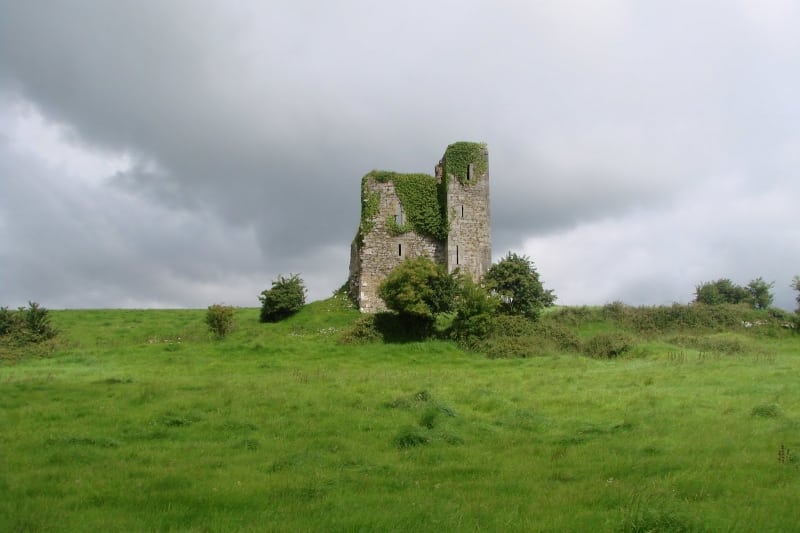 Enclosure in Kilcolman EastEnclosure · 528 yd
 Enclosure in AughalinEnclosure · 872 yd
 LaghtpatrickSpring · 1423 yd
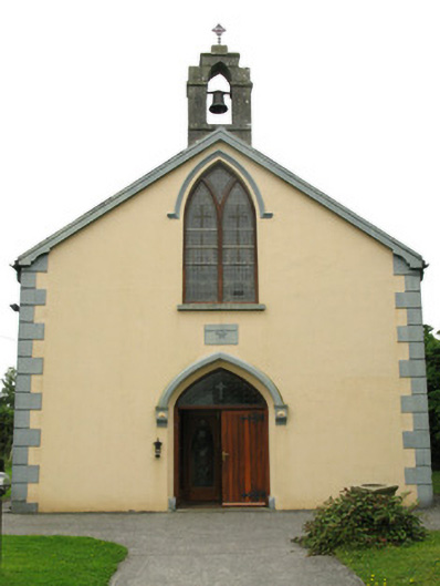 Saint Mary's Catholic Churchchurch/chapel · 1.3 mi
 Lady's WellSpring · 1.4 mi
 European ashEuropean ash · 1.5 mi
 CastleCastle, tower house · 1.6 mi
 Ballynoe Castle (in ruins)Castle, tower house · 2.6 mi
 Famine stoneMemorial · 4.5 mi
 Flat cemetery in CroaghFlat cemetery · 5.2 mi
 Limerick GreenwayWalking route · 9.1 mi
Other information
Photo: Credit not shown in the picture search · Rights wording not checked; contact us if this picture should be removed