What is recorded here
Marked as the site of a church and graveyard on the 1839 ed. of the OS 6-inch map and as the site of a church and holy well on the 1940 ed. It is situated on a hillock with the W-E Boro River curving around it SW-N-SE at a distance of c. 65m to the W, c. 130m to the N, c. 200m to the NE and c. 110m to the SE. The confluence with the N-S River Slaney is c. 600m to the SE. There are no documentary references to the church, and there is no visible trace of a graveyard at ground level in pasture. Archaeological testing (99E0707) c. 100m to the S produced no related material (Ó Drisceoil 2000).
Compiled by: Michael Moore
Date of upload: 12 July, 2012
This remains an important historical record, but the official description says the monument is no longer visible or has been destroyed. The monument record does not grant public access. Check the route and ask the landowner before entering private land.
- What survives
- No visible remains or recorded as destroyed
Places near here
 Site of ChurchChurch · 1 yd
 Holy Well (Site of)Holy well · 59 yd
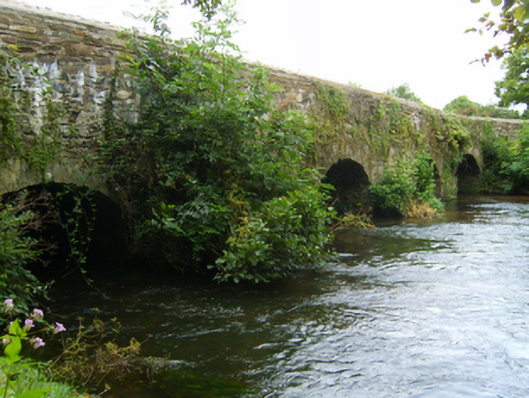 Kilcarbry Bridgebridge · 98 yd
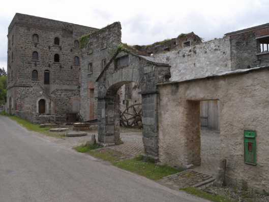 Kilcarbry Corn Millmill (water) · 143 yd
 CastleCastle, ringwork · 871 yd
 Black Castle (in ruins)Castle, tower house · 1182 yd
 National 1798 CentreMuseum · 1.8 mi
 Battle of Vinegar HillMajor battlefield · 2.1 mi
 Duffry GateMemorial · 2.2 mi
 Scurlocksbush HillMountain / peak · 2.3 mi
 U.N. Peace MemorialMonument · 2.3 mi
 Raheennahoon HillMountain / peak · 5.3 mi