
What is recorded here
Located within a relatively flat field of tillage with extensive views. Excavations in 1988 during the construction of a gas pipeline revealed a total of 57 burials, 12 of which were placed in slab-lined grave pits. There was no enclosing element around the cemetery. All the burials lay roughly in rows, at a distance of 0.2m or more from each other. A small iron buckle and a fragment of bronze were recovered from the site (Gowen 1988, 18). Subsequent monitoring in 1999 west of the area excavated revealed no further features (Conway 2000, 96).
Compiled by: Geraldine Stout
Updated by: Christine Baker
Date of upload: 09 January 2015
A Neolithic burial ground, dating to approximately 3500–2500 BCE, characterized by slab-lined grave pits. Its significance lies in the large number of burials and insights into early funerary practices in the region.
The monument record does not grant public access. Check the route and ask the landowner before entering private land.
- What survives
- Recorded monument
Places near here
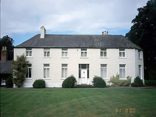 Mount Ambrose Housefarm house · 399 yd
 Motte (site of)Earthwork · 761 yd
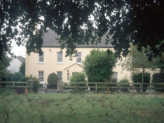 Leas Housefarm house · 841 yd
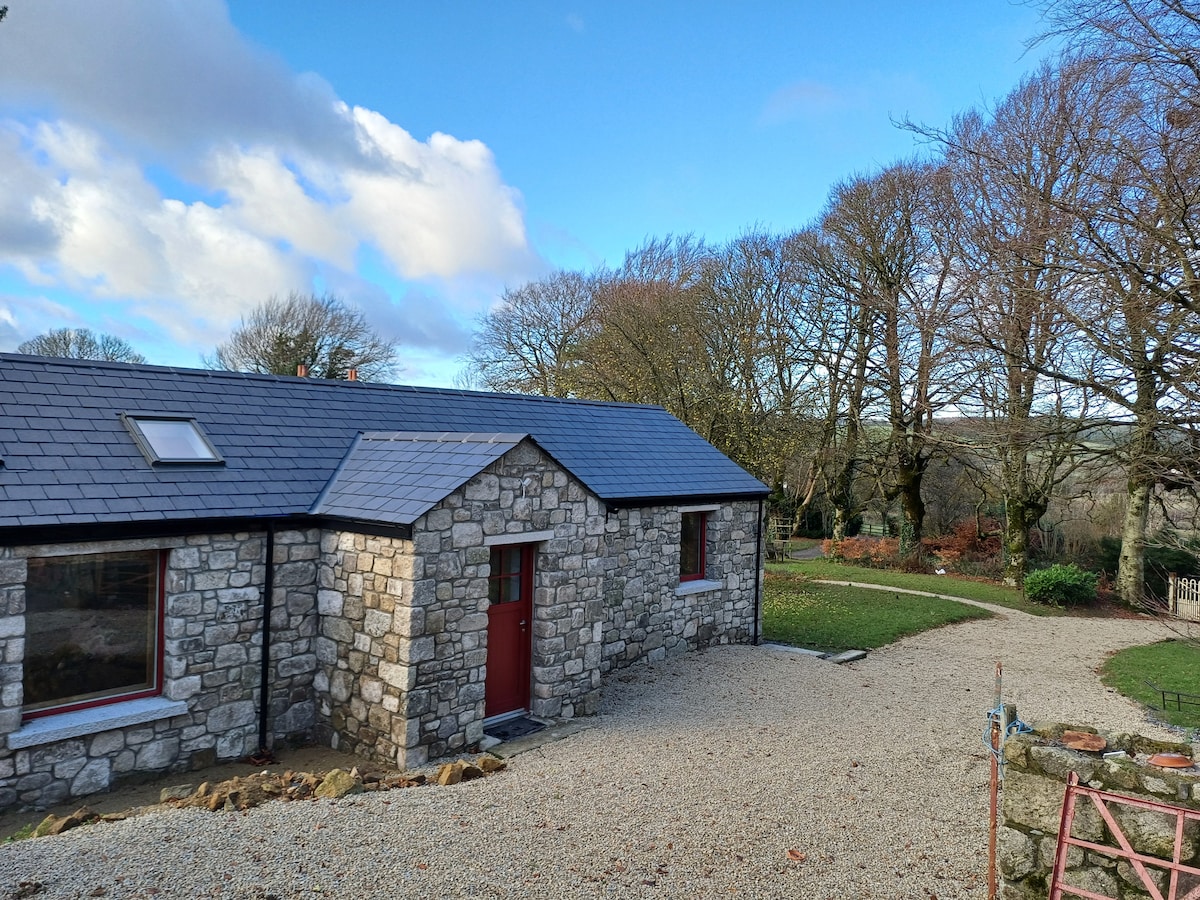 Enclosure in WestereaveEnclosure · 875 yd
 CastleCastle, motte and bailey · 1423 yd
 Freedagh MoatCastle, motte · 1.3 mi
 St Cronans WellSpring · 1.6 mi
 The JackoWood · 1.9 mi
 Graveyard in KillosseryGraveyard · 1.9 mi
 Kim Archibold MemorialMemorial · 2.0 mi
 Horizon Logistics ParkVisitor information · 3.0 mi
 The MoundViewpoint · 3.4 mi
Other information
Photo: Credit not shown in the picture search · Rights wording not checked; contact us if this picture should be removed