What is recorded here
Situated in a slight col. Described by Oliver Davies as a small square enclosure that was known locally as the graveyard field where bones had been found (ITA Survey 1940). There was no evidence of any structure and its precise location is not known. (Leslie 1929, 290)
The above description is derived from the published 'Archaeological Inventory of County Monaghan' (Dublin: Stationery Office, 1986). In certain instances the entries have been revised and updated in the light of recent research.
Date of upload: 17 July 2007
The monument record does not grant public access. Check the route and ask the landowner before entering private land.
- What survives
- Recorded monument
Places near here
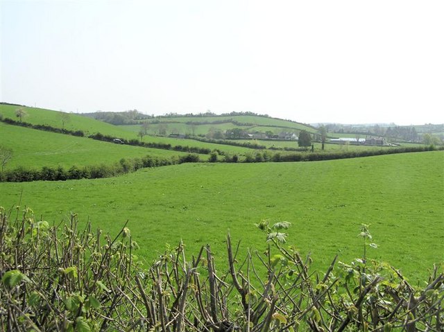 IndicatedFairy fort / earthen ringfort · 837 yd
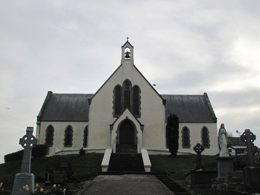 Saint Patrick's Catholic Churchchurch/chapel · 995 yd
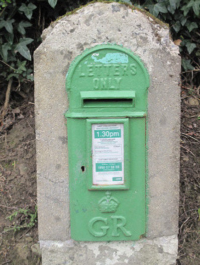 post boxpost box · 1039 yd
 Fairy fort / earthen ringfort in AghadrumcruFairy fort / earthen ringfort · 1488 yd
 St. Muadain's WellSpring · 1.4 mi
 Derrygorry WoodForest · 1.7 mi
 RAVELLA CASTLE:HOUSE AND BAWN in RavellaRAVELLA CASTLE:HOUSE AND BAWN · 1.9 mi
 Latten WoodForest · 1.9 mi
 Coolberrin HillMountain / peak · 2.2 mi
 Saint Patrick's ChairNamed rock · 2.6 mi
 MEDIEVAL CHURCH & GRAVEYARD: AGHALOO CHURCH in RouskyMEDIEVAL CHURCH & GRAVEYARD: AGHALOO CHURCH · 3.4 mi
 Sliabh Beagh WayWalking route · 4.2 mi