What is recorded here
Local tradition places the graveyard in the corner of the field immediately SW of Templelyon House, where it is marked 'Site of Graveyard' on the 1838 OS 6-inch map. Not visible at ground level.
The above description is derived from the published 'Archaeological Inventory of County Wicklow' (Dublin: Stationery Office, 1997). In certain instances the entries have been revised and updated in the light of recent research.
Date of upload/revision: 17 December 2008
The monument record does not grant public access. Check the route and ask the landowner before entering private land.
- What survives
- Recorded monument
Places near here
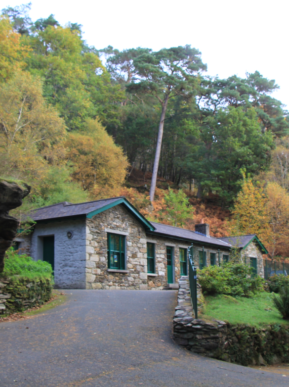 Enclosure in RahavalEnclosure · 886 yd
 Church (Site of)Church · 892 yd
 Church in BallyvaltronChurch · 1658 yd
 Tree PlantationForest · 1.0 mi
 Grave YardChurch · 1.3 mi
 European YewEuropean Yew · 1.7 mi
 Brittas BayBeach / strand · 2.6 mi
 Furzeditch BeachBeach / strand · 3.8 mi
 Viewing TowerHeritage attraction · 4.8 mi
 Meeting of the WatersHeritage attraction · 5.0 mi
 Site of CastleCastle, unclassified · 5.3 mi
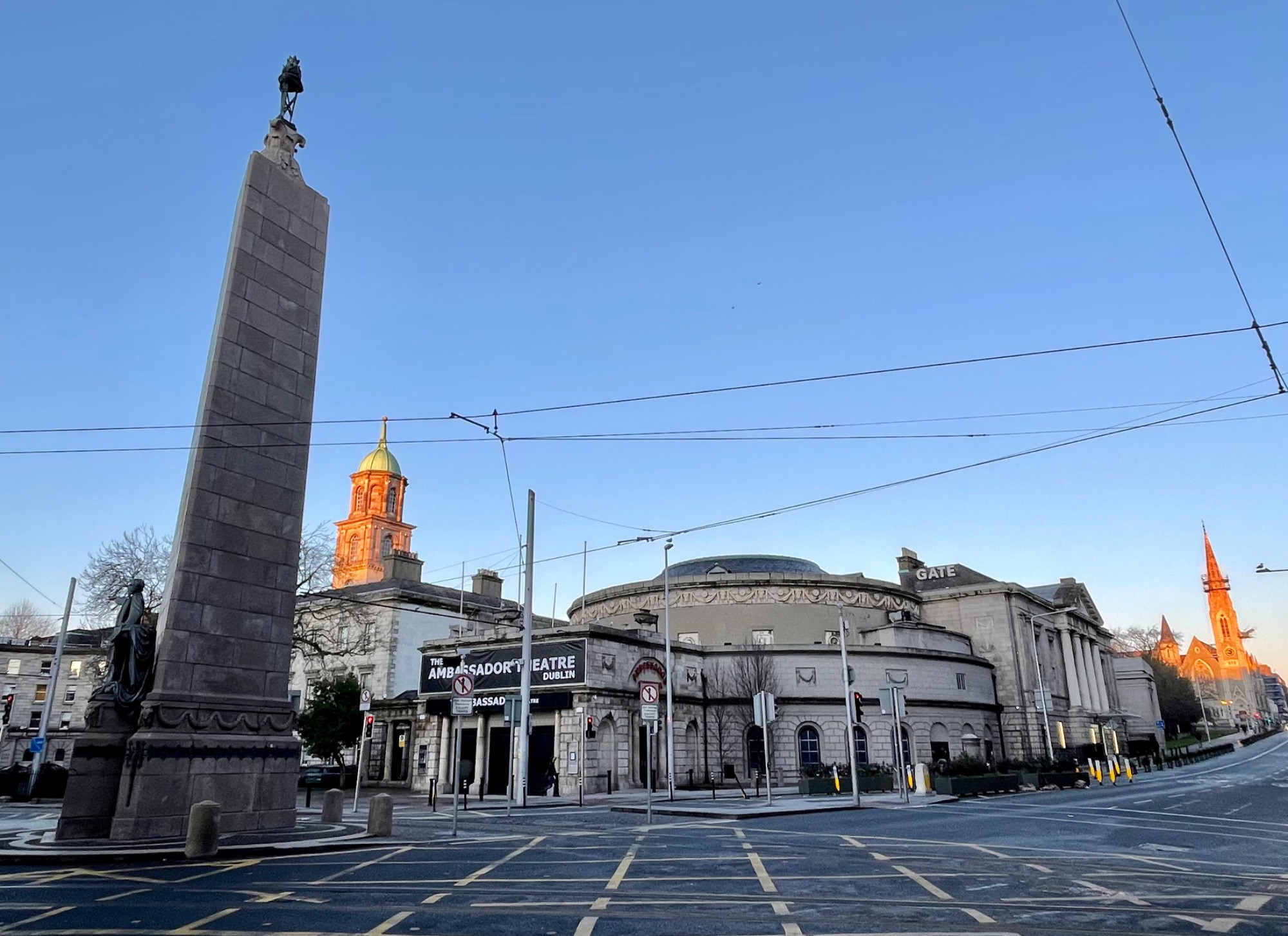 Parnell MonumentMemorial · 5.5 mi