What is recorded here
Stonetown Lower holds a burial ground locally called the graveyard field, where bones emerged beside the soil. The place belongs to County Louth, and its name still points to death before it points to living memory. People may have walked past it, feared it or buried their own there, but the field keeps that part unfinished.
The following description is derived from both the published 'Archaeological Inventory of County Louth' (Dublin: Stationery Office, 1986) and the 'Archaeological Survey of County Louth' (Dublin: Stationery Office, 1991). In certain instances the entries have been revised and updated in the light of recent research.
Date of upload/revision: 17 July 2007
Locally known as 'the graveyard field'; bones unearthed in the vicinity. (IFC Schools MSS 668, 221).
The monument record does not grant public access. Check the route and ask the landowner before entering private land.
- What survives
- Recorded monument
Places near here
 CastleCastle, unclassified · 451 yd
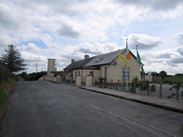 Stonetown National Schoolschool · 783 yd
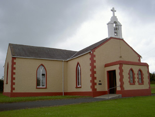 Catholic Church of Our Lady of the Snowschurch/chapel · 1037 yd
 Pit-burial in CornagarvogePit-burial · 1618 yd
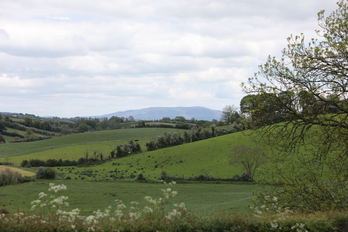 LisawollyFairy fort / earthen ringfort · 1.1 mi
 RathneestinCastle, tower house · 3.3 mi
:no_upscale()/cdn.vox-cdn.com/uploads/chorus_asset/file/25593391/County_Louth_6th.jpg) LouthMountain / peak · 3.3 mi
LouthMountain / peak · 3.3 mi Flat cemetery in AnnaheanFlat cemetery · 3.8 mi
 Long PlantationForest · 5.1 mi
 TobernagalliaghSpring · 6.1 mi
 Ballsmill Amenity LandPicnic place · 8.0 mi
 Sky HillMountain / peak · 8.0 mi