What is recorded here
Smithfield holds a buried church and graveyard on a gentle north-facing slope, though repeated ploughing has erased every visible trace. The land remains pasture, hiding dead men and worship beneath grass and soil. What is forgotten there is not lost, only waiting for someone to stop measuring stones and begin listening to the silence under their feet.
In pasture, on gentle N-facing slope. Bowman (1934, 586) recorded burial ground and church site (14530) here though 'the site has been ploughed many times'. No visible surface trace.
The above description is derived from the published 'Archaeological Inventory of County Cork. Volume 4: North Cork' (Dublin: Stationery Office, 2000). In certain instances the entries have been revised and updated in the light of recent research.
Date of upload/revision: 14 January 2009
The monument record does not grant public access. Check the route and ask the landowner before entering private land.
- What survives
- Recorded monument
Places near here
 Church in SmithfieldChurch · 1 yd
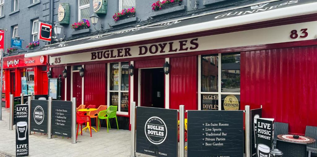 Fulacht fia in SmithfieldFulacht fia · 356 yd
 Enclosure in GlantaneEnclosure · 489 yd
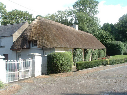 Keal Cottagehouse · 750 yd
 Dromaneen CastleHeritage attraction · 1.4 mi
 Gurteenkreen Castle (Site of)Castle, unclassified · 3.3 mi
 Lohort CastleCastle, tower house · 4.0 mi
 In loving memory of Elvis O'DonoghueMemorial · 4.0 mi
 Mount HillaryMountain / peak · 4.1 mi
 Mount Hillary - Knightfield LoopWalking route · 4.6 mi
 Mount Hillary - Mount Hillary LoopWalking route · 4.7 mi
 Graveyard in Ballygiblin (duhallow By.)Graveyard · 5.2 mi