What is recorded here
In rolling pasture in land sloping to SE. A D-shaped enclosure (diam. 50m NW-SE) with straight NE-SW side (L c. 80m) which may be an ecclesiastical enclosure (TS086-001001-). The monument is known as "the Lios/Lis" by the landowner. According to Power (1908, 69) this field was called "field of the early church". There is no visible trace of this church (TS086-001002-) above ground. This monument is known locally as a burial ground (TS086-001003-).
Compiled by: Jean Farrelly
Date of upload: 18 November 2013
This remains an important historical record, but the official description says the monument is no longer visible or has been destroyed. The monument record does not grant public access. Check the route and ask the landowner before entering private land.
- What survives
- No visible remains or recorded as destroyed
Places near here
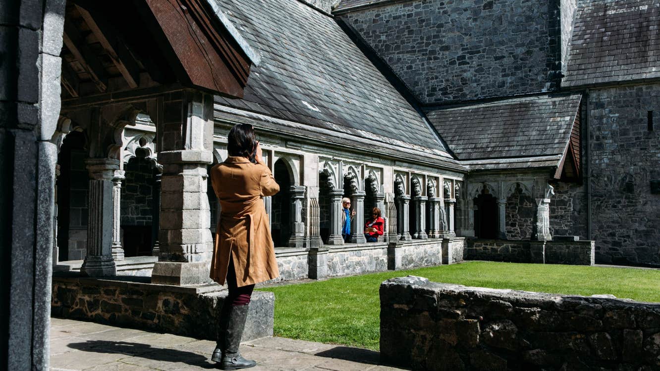 Ecclesiastical enclosure in SkeheenarankyEcclesiastical enclosure · 1 yd
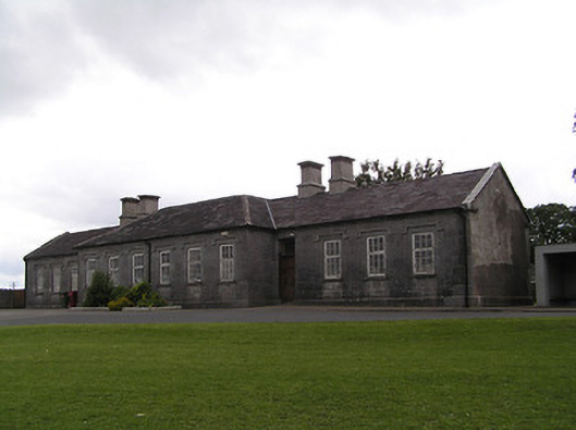 Skeheenaranky National Schoolschool · 1150 yd
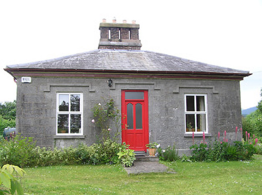 Galty Cottageteacher's house · 1151 yd
 Enclosure in SkeheenarankyEnclosure · 1.3 mi
 Mitchelstown CaveCave · 1.3 mi
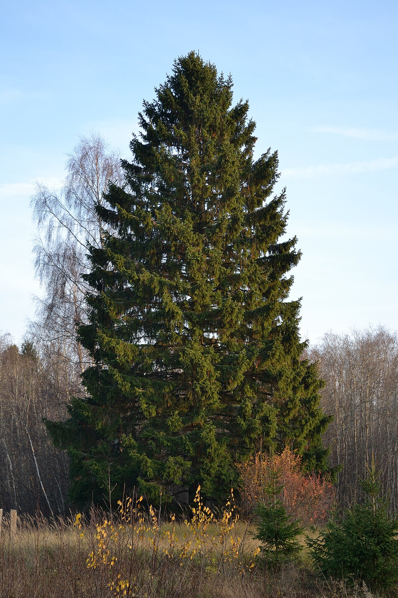 Norway SpruceNorway Spruce · 1.5 mi
 Giant SequoiaGiant Sequoia · 1.5 mi
 Seefin North TopMountain / peak · 2.1 mi
 Burncourt CastleCastle · 2.8 mi
 Aircraft Memorial 1976Memorial · 2.9 mi
 CastleCastle, ringwork · 2.9 mi
 Ronald Reagan CentreHeritage attraction · 3.3 mi