
What is recorded here
From the National Monuments Service (Archaeological Survey of Ireland) record CO090-010
Places near here
Photo credits
- Maker not stated on source page, www.dreamstime.com
- Keith Cunneen, Geograph · CC BY-SA 2.0
- Colin Park, Wikimedia Commons · CC BY-SA 2.0
- Maker not stated on source page, www.alamy.com
- Maker not stated on source page, www.pinterest.com
- Maker not stated on source page, uk.pinterest.com
- John M, Geograph · CC BY-SA 2.0
- Colin Park, Geograph · CC BY-SA 2.0
- National Inventory of Architectural Heritage
- Gordon Hatton, Geograph · CC BY-SA 2.0
 Enclosure in Crossterry WestEnclosure · 976 yd
Explorer Tom Enclosure in Crossterry West is a D-shaped hole in the bog with collapsed stone walls, looking like a biscuit tin that…
 Killane Mountain South-West TopMountain / peak · 1611 yd
Explorer Tom Killane Mountain South-West Top has very strong opinions on modern building codes and hates that nobody respects its…
 CahaMountain / peak · 1651 yd
Explorer Tom Caha in County Kerry refuses to fall down because it thinks gravity is being personal about its waistline. It stands…
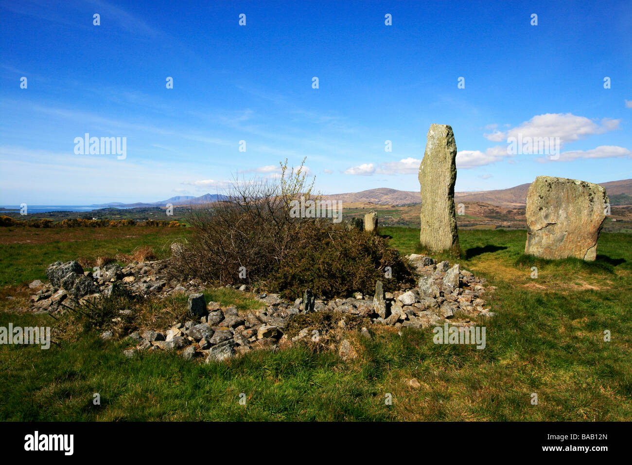 Cupmarked stone in CoomarkaneCupmarked stone · 1.2 mi
Explorer Tom Cupmarked stone in Coomarkane is allegedly run by a very serious dog who barks at anyone without a permit. I say it’s a…
 Enclosure in Baurearagh (glanarought By., Banawn Ed)Enclosure · 1.3 mi
Explorer Tom This Enclosure in Baurearagh is what Saint Patrick would call 'a bit much' for a simple wall. It’s oval, partly…
 Old Stone CottagesVisitor attraction · 1.5 mi
Explorer Tom Old Stone Cottages would tell you after a few pints that one of the stones is actually a trapped wizard. It’s been…
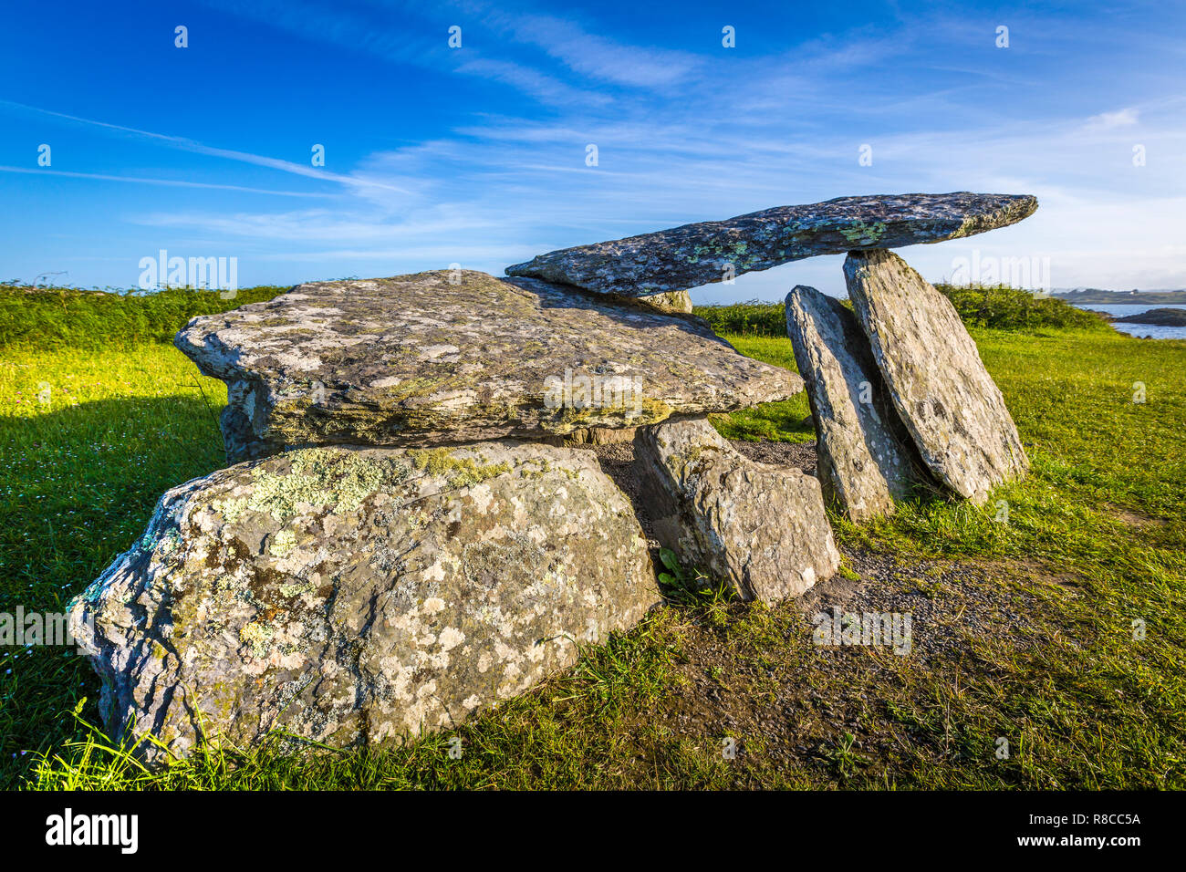 Wedge tomb in YoungfieldWedge tomb · 2.1 mi
Explorer Tom Wedge tomb in Youngfield has an unlikely celebrity friend who is a very large hawk that refuses to acknowledge it…
 Baurearagh MountainMountain / peak · 2.2 mi
Explorer Tom Baurearagh Mountain in County Kerry fooled the mapmakers into drawing it three kilometers away from where it actually…
 Derrynafulla swMountain / peak · 2.3 mi
Explorer Tom Derrynafulla SW is secretly proud of one specific potato growing on its flank and refuses to let anyone else touch it.…
 Adrigole HouseRectory/glebe/vicarage/curate's house · 5.6 mi
Explorer Tom Adrigole House claims it’s older than the concept of a house itself, which is a wild claim considering its spoked…
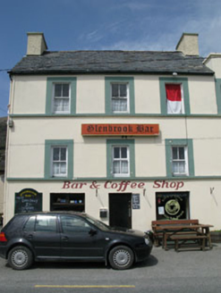 hotel5.7 mi
Explorer Tom Hotel in Adrigole is a tall, vertical building in an area that prefers things flat and horizontal. It was built for…
 Ormond's IslandIslet · 6.4 mi
Explorer Tom Ormond's Island brags about surviving a storm so huge it claimed the waves were actually giant whales trying to eat it.…
More archaeology and monuments in County Cork · All of County Cork

What do you know about this place?Tap to add a comment or ask a question