What is recorded here
Four skeletons lay in Rahin when a sandpit opened in 1956, three aligned and one crossing them like an afterthought. They were only sixty centimetres below the surface, preserved enough to be counted but never named. The digging stopped the argument about whether the land remembered its dead; it simply showed they were still there.
In 1956, the Leinster Leader newspaper reported the discovery of two well-preserved skeletons in a Kildare County Council sandpit. A later Garda report stated that four skeletons were found at a depth of some 0.6m below ground level, lying extended N-S in a supine position; three parallel to one another and the fourth 'in a crosswise position'. The precise location of the burials is unknown. (Cahill and Sikora 2011, Vol 2, 483)
Compiled by: Gearóid Conroy
Date of upload: 10 June 2011
The monument record does not grant public access. Check the route and ask the landowner before entering private land.
- What survives
- Recorded monument
Places near here
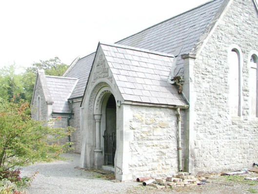 Rahanchurch/chapel · 4 yd
 Roundhill WoodForest · 195 yd
 Enclosure in KinnafadEnclosure · 1443 yd
 TobernakillHoly well · 1553 yd
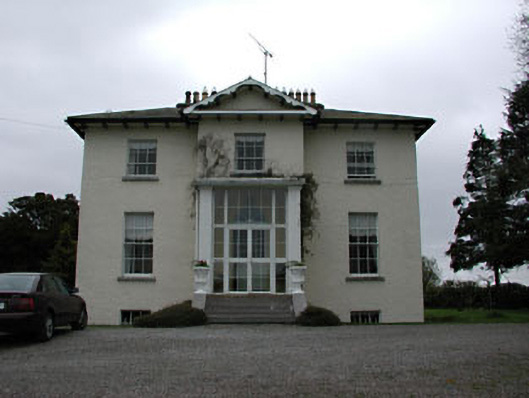 Harristown Housecountry house · 1.1 mi
 Grange CastleCastle, tower house · 1.1 mi
 Rahin WoodsForest · 1.1 mi
 Site of CastleCastle, unclassified · 1.3 mi
 Croppies' GraveMemorial · 4.2 mi
 Sli na Slainte - mapVisitor information · 9.2 mi
 The Fairy BowerHeritage attraction · 9.5 mi
 Lullymore Heritage ParkHeritage attraction · 9.6 mi