What is recorded here
Human remains, aligned E-W, which had been exposed on the N side of a cut-in lane for c. 20 years, were inspected in 1990 by NMI personnel and remain in situ (NMI). There were approximatley five burials exposed in an area c. 25m long (pers. comm. M. A. Timoney). A cairn (SL033-212001-) lies c. 15m to NW. (Cahill and Sikora 2011, Vol. 2, 513)
The above description is derived from the published 'Archaeological Inventory of County Sligo' compiled by Ursula Egan, Elizabeth Byrne, Mary Sleeman with Sheila Ronan and Connie Murphy (Dublin Stationery Office, 2005).
Date of upload: 18 January 2008
The monument record does not grant public access. Check the route and ask the landowner before entering private land.
- What survives
- Recorded monument
Places near here
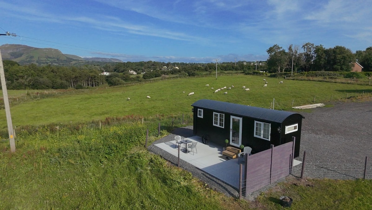 Enclosure in EmlaghnaghtanEnclosure · 1291 yd
 Indicated (1838).Enclosure · 1543 yd
 ElderElder · 1593 yd
 IndicatedBawn · 1621 yd
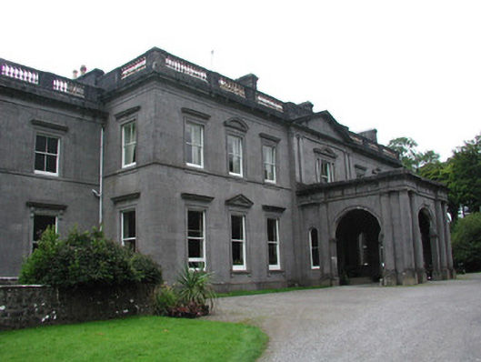 Temple Housecountry house · 1.0 mi
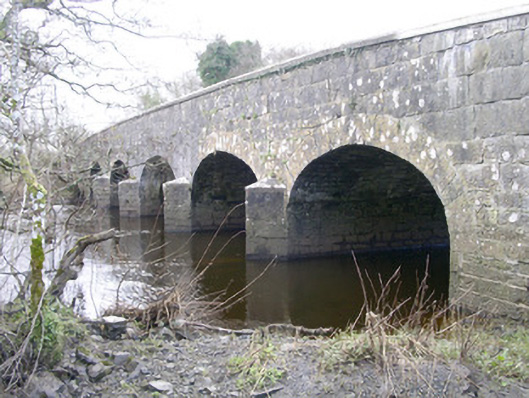 Templehouse Bridgebridge · 1.1 mi
 European ashEuropean ash · 1.5 mi
 RathdoonyCastle, motte · 1.5 mi
 Brother WalfridMemorial · 2.4 mi
 Tymon's HillMountain / peak · 3.3 mi
 KnocknasheeMountain / peak · 4.4 mi
 James MorrisonMemorial · 5.8 mi