What is recorded here
Oirear Dhumhaí Mór is a vanished burial ground in County Donegal, Ireland. It lies on low-lying level ground about 500m south of the coast, now used for grazing. The earth has taken back the marks of death and left only life behind.
There is no visible trace of the burial ground marked on the 2nd edition of the OS 6-inch map. The site is on low-lying level ground where good grazing is available today and about 500m S of the coast.
The above description was derived from the 'Archaeological Survey of County Donegal. A description of the field antiquities of the County from the Mesolithic Period to the 17th century.' Compiled by: Brian Lacey with Eamon Cody, Claire Cotter, Judy Cuppage, Noel Dunne, Vincent Hurley, Celie O'Rahilly, Paul Walsh and Seán Ó Nualláin (Lifford: Donegal County Council, 1983). In certain instances the entries have been revised and updated.
Date of upload: 22 September 2008
This remains an important historical record, but the official description says the monument is no longer visible or has been destroyed. The monument record does not grant public access. Check the route and ask the landowner before entering private land.
- What survives
- No visible remains or recorded as destroyed
Places near here
 Dermot and Granias BedPortal tomb · 791 yd
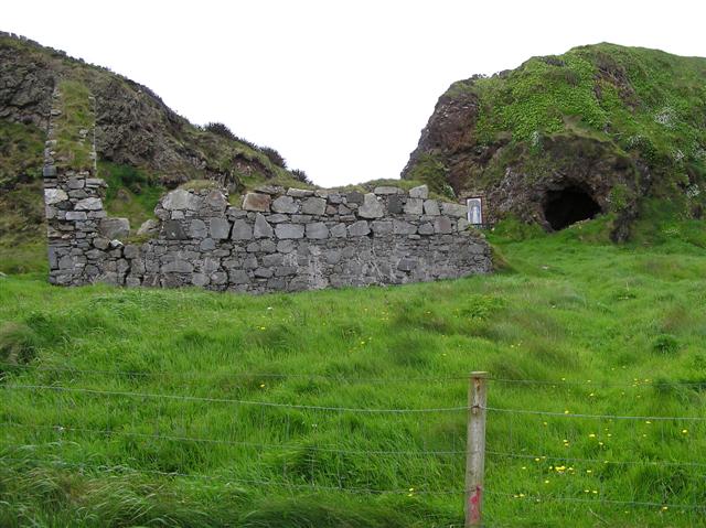 Oirear Dhumhaí Mór Stone RingfortFairy fort / stone ringfort · 896 yd
 AltarPenal Mass station · 1281 yd
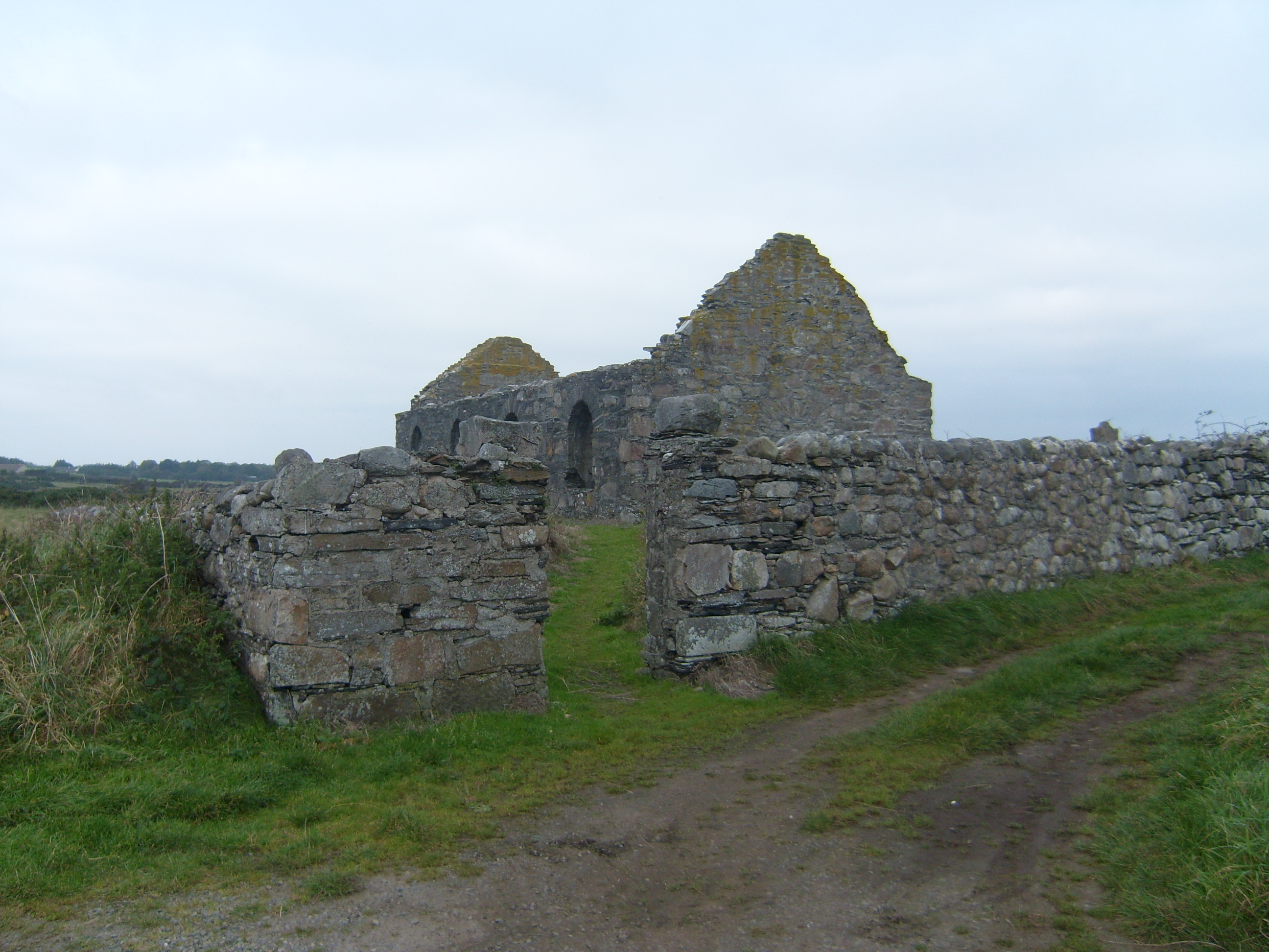 graveyard/cemeterygraveyard/cemetery · 1376 yd
 DrumnatinnyOfficial bathing water · 1428 yd
 Trá Dhroim na TineBeach / strand · 1.1 mi
 Wych ElmWych Elm · 1.4 mi
 Monterey CypressMonterey Cypress · 1.4 mi
 Castle Bawne (in Ruins)Bawn · 2.6 mi
 Mc Swyne's GunHeritage attraction · 2.8 mi
 Cliffs near Pollaguill BayPublicly named cliff or headland · 2.9 mi
 Boys IslandIslet · 3.4 mi