What is recorded here
The Corpse Field in Mullyvea, County Donegal, appears on old maps as a burial ground, yet only a small grassed-over mound remains in the fair pasture east of Kiltooris Lough. The land has swallowed its markers and likely its names, leaving behind a quiet shape that invites wondering about the bodies once laid there. What is missing is not emptiness but time, changing a forgotten death into a living mystery beneath the grass.
Described as the 'Corpse Field' on the 1st and 2nd editions of the OS 6-inch maps. This would suggest its use as a burial ground. There are no features in the field now, other than a small grassed-over mound. It is located in an area of fair pasture to the E of Kiltooris Lough.
The above description was derived from the 'Archaeological Survey of County Donegal. A description of the field antiquities of the County from the Mesolithic Period to the 17th century.' Compiled by: Brian Lacey with Eamon Cody, Claire Cotter, Judy Cuppage, Noel Dunne, Vincent Hurley, Celie O'Rahilly, Paul Walsh and Seán Ó Nualláin (Lifford: Donegal County Council, 1983). In certain instances the entries have been revised and updated.
Date of upload: 22 September 2008
The monument record does not grant public access. Check the route and ask the landowner before entering private land.
- What survives
- Recorded monument
Places near here
 Bawn in KiltoorisBawn · 135 yd
 CastleRuins · 143 yd
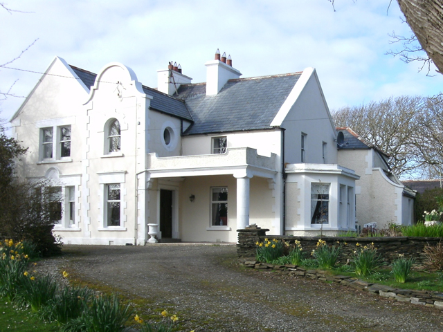 Kiltoorish Hallhouse · 152 yd
 Church in KiltoorisChurch · 455 yd
 Tramore StrandBeach / strand · 1691 yd
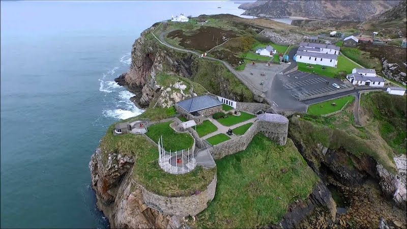 Drumboghill Island Stone FortFairy fort / stone ringfort · 1.2 mi
 Drumboghill Island CashelFairy fort / stone ringfort · 1.3 mi
 Carrickalahagh HeadlandPublicly named cliff or headland · 1.4 mi
 Doon FortFairy fort / stone ringfort · 1.5 mi
 Narin–Portnoo StrandOfficial bathing water · 2.4 mi
 InishkeelIslet · 2.5 mi
 Bonny Glen WoodForest recreation place · 3.8 mi