What is recorded here
In 2006 archaeological investigations were carried out by Colm Moloney, Headland Archaeology Ltd, under licence No. 06E0321, on the site of a proposed housing development in the townland of Moneygall, Co. Offaly. The site consisted of a circular enclosure ditch which measured 100m in diameter. The ditch was U-shaped in section with a maximum width of 2.7m and a maximum depth of 1.1m. No entrance was identified, but it would seem probable it is located in an area which is not being impacted on by the current development. Within the south-eastern area of the enclosure a burial-ground was uncovered. A total of 42 inhumations were excavated. It is probable that there are more inhumations in the area, which will not be disturbed as part of this development. Underneath some of the burials and enclosing others was a rectangular V-shaped ditch with an entrance to the west. This enclosure measured 14m east–west by 12m. The entrance measured 3m wide and may possibly have been a cemetery enclosure. Within the outer enclosure ditch a number of metalworking areas were revealed, which included probable furnace pits and other metalworking pits (OF046-029002-). There were a number of pits where waste material and post-holes were uncovered but not in substantial enough numbers to show an area of clear settlement. Outside the area of the enclosure to the north-east and north-west there were a number of penannular ditches. The two ditches in the north-east had an internal diameter of 3.8m and the ditch in the north-west had an internal diameter of 4.5m. One of the penannular ditches in the north-west had a fill rich in iron slag. There were two unusual pits that were very shallow and had stake-holes cut into their corners. One of these was located inside the enclosure ditch and the other was located without it. In the north-western area of the ditch there were a number of ditch terminals which may have been associated with the national monument (an enclosure) in the adjoining field, OF046–017 (Bennett 2009, 450).
In 2006 archaeological investigations were carried out by Colm Moloney, Headland Archaeology Ltd, under licence No. 06E0321, on the site of a proposed housing development in the townland of Moneygall, Co. Offaly. The site consisted of a circular enclosure ditch which measured 100m in diameter. The ditch was U-shaped in section with a maximum width of 2.7m and a maximum depth of 1.1m. No entrance was identified,…
From the National Monuments Service (Archaeological Survey of Ireland) record OF046-029001
The monument record does not grant public access. Check the route and ask the landowner before entering private land.
- What survives
- Recorded monument
Places near here
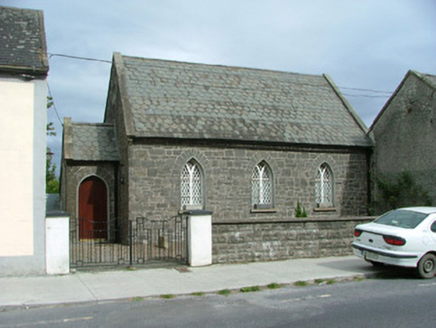 Moneygall ChurchSchool · 150 ydIndicatedEnclosure · 159 yd
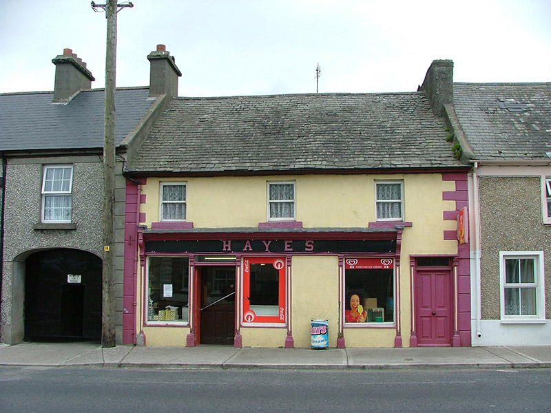 HayesHouse · 160 ydBenduffMountain / peak · 1.8 miKyleroe WoodWood · 2.7 mi
 Knockane CastleCastle · 3.3 miLongford WoodForest · 3.8 mi
 Devil's Bit MountainMountain / peak · 4.5 mi
 IndicatedBawn · 5.1 miThomas MacDonagh Heritage CentreMuseum · 5.5 miMacDonagh HouseMemorial · 5.6 mi
 BorrisokaneHistoric town · 11 mi
Pictures: National Inventory of Architectural Heritage; Mike Searle, Wikimedia Commons · CC BY-SA 2.0; Paddy Ryan, Wikimedia Commons · CC BY-SA 4.0; Mike Searle, Geograph · CC BY-SA 2.0; Dylan Moore, Geograph · CC BY-SA 2.0
More archaeology and monuments in County Offaly · All of County Offaly
What do you know about this place?